|
search place name
|
||
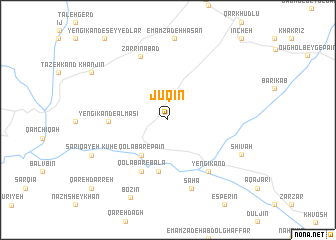
Jūqīn (Iran)Jūqīn is a town in Iran. An overview map of the region around Jūqīn is displayed below.
regional and 3d topo map of Jūqīn, Iran ::
Jūqīn airports ::
The nearest airport is RAS - Rasht, located 155.9 km north east of Jūqīn.
Other airports nearby include SDG - Sanandaj (172.3 km south west), Nearby towns ::
Qolābar-e Pāʼīn (4.6km south west) //
Boyūk Qīyeh (5.8km south) //
Qolābar-e Bālā (6.2km south) //
Yengī Kand-e Almāsī (5.4km west) //
Yengī Kand (6.8km south east) //
Yengeh Kand (6.8km south east) //
Zarrīnābād (7.5km north) //
Sahā (7.9km south) //
Shīvah (7.6km south east) //
Kūh-e Sārī Qayeh (7.9km south west) //
Bozīn (9.3km south) //
Khān Jīn (8.7km north west) //
Qareh Darreh (10.2km south west) //
[all distances 'as the bird flies' and approximate] 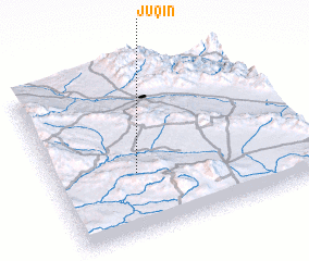 Places with similar names to Jūqīn, Iran ::
Disclaimer :: Information on this page comes without warranty of any kind |
||
|
Where is Jūqīn? Elevation and coordinates ::
Latitude (lat): 36°22'7"N Longitude (lon): 48°19'35"E
Elevation (approx.): 1716m (map arrows pan, magnifying glasses zoom) |
||
|
Visiting Jūqīn? Hotel/Accommodation ::
Book a hotel in Jūqīn Travel Guide ::
Buy a travel guide for Iran rental cars ::
car rental offers GPS waypoint ::
download a GPX waypoint (PoI) of Jūqīn for your GPS receiver
|
||