|
search place name
|
||
Kadūkār (Kermān, Iran)Kadūkār is a town in the Kermān region of Iran. An overview map of the region around Kadūkār is displayed below.
regional and 3d topo map of Kadūkār, Iran ::

Kadūkār airports ::
The nearest airport is KER - Kerman, located 108.5 km north east of Kadūkār.
Nearby towns ::
Deh-e ‘Alīāqā (3.4km south west) //
Gohrej (3.3km south west) //
Kūh-e Shāh Sūleh (4.1km south) //
Kahn-e Gerd (4.3km south west) //
Bāgh Qand (4.6km south east) //
Ţabaq (4.8km north west) //
Sang-e Ātash (4.6km west) //
Karmesh (5.1km south west) //
Senjetū'īyeh (5.2km south east) //
Takht-e Boneh (5.1km east) //
Tall-e Mīān (5.3km south west) //
Tangū'īyeh (6.0km north west) //
Bīd Lūk (6.2km south east) //
Mīkh Sefīd (8.3km south) //
Qalāt-e Reẕvānī (8.9km north east) //
[all distances 'as the bird flies' and approximate] 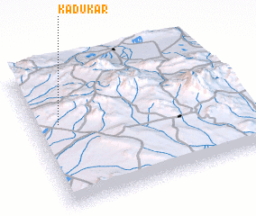 Places with similar names to Kadūkār, Iran ::
// Quatoquará (BR)
// Kadıkırı (TR)
// Kutkor (UA)
// Katagor (RU)
// Goda Goro (ET)
// Kitay Gora (RU)
// Kete Gara (ET)
// Godāgāri (BD)
// Gotgāri (BD)
// Kādigar (BD)
Disclaimer :: Information on this page comes without warranty of any kind |
||
|
Where is Kadūkār? Elevation and coordinates ::
Latitude (lat): 29°36'42"N Longitude (lon): 56°7'27"E
Elevation (approx.): 2382m (map arrows pan, magnifying glasses zoom) |
||
|
Visiting Kadūkār? Hotel/Accommodation ::
Book a hotel in Kadūkār Travel Guide ::
Buy a travel guide for Iran rental cars ::
car rental offers GPS waypoint ::
download a GPX waypoint (PoI) of Kadūkār for your GPS receiver
|
||