|
search place name
|
||
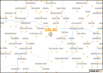
Kalāk (Gīlān, Iran)Kalāk is a town in the Gīlān region of Iran. An overview map of the region around Kalāk is displayed below.
regional and 3d topo map of Kalāk, Iran ::
Kalāk airports ::
The nearest airport is RZR - Ramsar, located 62.9 km east of Kalāk.
Other airports nearby include RAS - Rasht (65.7 km north west), THR - Teheran Mehrabad Intl (173.0 km south east), Nearby towns ::
Tokām (1.5km west) //
Zard Rūd (1.9km north) //
Boneh Zamīn (3.0km east) //
Tang Rūd (3.5km north west) //
Mīkāl (4.0km north) //
Golak (4.0km north) //
Chamchāl (3.5km south east) //
Mollā Maḩalleh (3.5km south east) //
Pīr Kūh (4.1km east) //
Amīr Chāk (5.6km south) //
Gīsel (4.5km west) //
‘Eyn-e Sheykh (4.5km west) //
Kalām Jalīseh (5.8km south) //
Dīārjān (5.8km north) //
Mūlameh (5.8km north west) //
Khorram Rūd (6.3km north west) //
‘Āshūrābād (7.6km north) //
Yasan (6.2km east) //
Jalīseh (7.1km south east) //
Marbū (7.1km north east) //
Lūrd (7.1km north east) //
Līyeh (8.0km north) //
‘Alīābād (7.0km south west) //
Shīyeh (8.0km north) //
Asak (7.0km north east) //
Vasmjān (7.0km south east) //
Īzhgī (8.1km south west) //
Pīshkījān (8.1km south east) //
Deylamān (9.3km north) //
[all distances 'as the bird flies' and approximate] 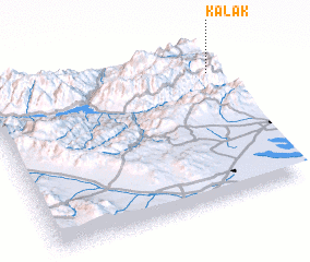 Places with similar names to Kalāk, Iran ::
Disclaimer :: Information on this page comes without warranty of any kind |
||
|
Where is Kalāk? Elevation and coordinates ::
Latitude (lat): 36°49'0"N Longitude (lon): 49°59'0"E
Elevation (approx.): 1812m (map arrows pan, magnifying glasses zoom) |
||
|
Visiting Kalāk? Hotel/Accommodation ::
Book a hotel in Kalāk Travel Guide ::
Buy a travel guide for Iran rental cars ::
car rental offers GPS waypoint ::
download a GPX waypoint (PoI) of Kalāk for your GPS receiver
|
||