|
search place name
|
||
Kalsūreh (Eşfahān, Iran)Kalsūreh is a town in the Eşfahān region of Iran. An overview map of the region around Kalsūreh is displayed below.
regional and 3d topo map of Kalsūreh, Iran ::
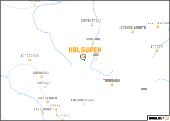
Nearby towns ::
Jaz (2.1km east) //
Būdejān (4.2km north) //
Tang-e Dūdī (7.3km south east) //
Kopeh Tāqūnī (8.1km north) //
[all distances 'as the bird flies' and approximate] 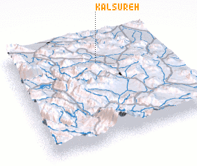 Places with similar names to Kalsūreh, Iran ::
// Kellassaare (EE)
// Këlcyrë (AL)
// Këlcyrë (AL)
// Klisare (BA)
// Klisura (BA)
// Klisura (BA)
// Klisura (BG)
// Căluşeri (RO)
// Kallioozero (RU)
// Kolesur (RU)
Disclaimer :: Information on this page comes without warranty of any kind |
||
|
Where is Kalsūreh? Elevation and coordinates ::
Latitude (lat): 31°47'58"N Longitude (lon): 51°34'31"E
Elevation (approx.): 2486m (map arrows pan, magnifying glasses zoom) |
||
|
Visiting Kalsūreh? Hotel/Accommodation ::
Book a hotel in Kalsūreh Travel Guide ::
Buy a travel guide for Iran rental cars ::
car rental offers GPS waypoint ::
download a GPX waypoint (PoI) of Kalsūreh for your GPS receiver
|
||