|
search place name
|
||
Kānī Kalāteh (Iran)Kānī Kalāteh is a town in Iran. An overview map of the region around Kānī Kalāteh is displayed below.
regional and 3d topo map of Kānī Kalāteh, Iran ::
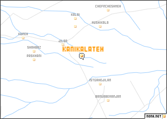
Nearby towns ::
Jīlān (4.9km north west) //
Īstgāh-e Jīlān (6.3km south east) //
Kalāteh-ye Ḩājjī Kāz̧em (7.6km north) //
Mūshī Kalā (8.0km north) //
[all distances 'as the bird flies' and approximate] 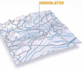 Places with similar names to Kānī Kalāteh, Iran ::
// Gangalito (CU)
// Gañecoleta (ES)
// Conculito (GT)
// Kohneh Kalāt (IR)
// Caño Gallito (VE)
// Gangalada (NG)
// Gangalada (NG)
// Congolote (MZ)
// Kangulat (PG)
// Kon Klott (VN)
Disclaimer :: Information on this page comes without warranty of any kind |
||
|
Where is Kānī Kalāteh? Elevation and coordinates ::
Latitude (lat): 36°34'0"N Longitude (lon): 55°35'0"E
Elevation (approx.): 1073m (map arrows pan, magnifying glasses zoom) |
||
|
Visiting Kānī Kalāteh? Hotel/Accommodation ::
Book a hotel in Kānī Kalāteh Travel Guide ::
Buy a travel guide for Iran rental cars ::
car rental offers GPS waypoint ::
download a GPX waypoint (PoI) of Kānī Kalāteh for your GPS receiver
|
||