|
search place name
|
||
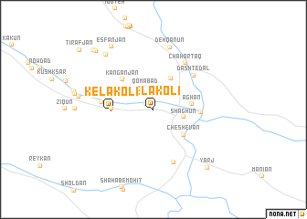
Kelākolī (Fārs, Iran)Kelākolī is a town in the Fārs region of Iran. An overview map of the region around Kelākolī is displayed below.
regional and 3d topo map of Kelākolī, Iran ::
Kelākolī airports ::
The nearest airport is SYZ - Shiraz Shahid Dastghaib Intl, located 110.4 km north west of Kelākolī.
Nearby towns ::
Dowlatābād (1.0km north west) //
Qomābād (2.8km north) //
Shāghūn (3.3km east) //
Shāhzādeh Nūr od Dīn (4.2km north east) //
Āghān (4.2km east) //
Cheshevān (4.5km south east) //
Safādeh (4.5km west) //
Kelākolī (4.5km west) //
Kangān Jān (5.0km north west) //
Barāk (5.1km east) //
Darvīshān (5.6km west) //
Dasht-e Dāl (6.0km north east) //
Chahār Ţāq (6.6km north east) //
Tol-e Moḩammad Taqī (6.8km south) //
Deh Qānūn (7.8km north) //
Toremeh (8.4km north west) //
Esfanjān (8.9km north west) //
Yarj (9.2km south east) //
Jombed (9.5km north west) //
Deh Konārī (9.7km north west) //
[all distances 'as the bird flies' and approximate] 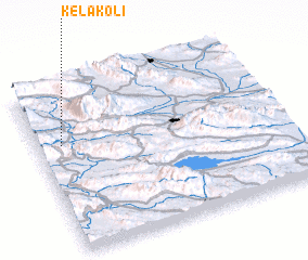 Places with similar names to Kelākolī, Iran ::
// Kalağaylı (AZ)
// Gulgul (ER)
// Qılıçlı (AZ)
// Qılıçlı (AZ)
// Culiculi (PH)
// Gligli (PH)
// Guilaguila (PH)
// Guilguila (PH)
// Guiliguili (PH)
// Kalukalu (PH)
Disclaimer :: Information on this page comes without warranty of any kind |
||
|
Where is Kelākolī? Elevation and coordinates ::
Latitude (lat): 28°38'57"N Longitude (lon): 53°5'52"E
Elevation (approx.): 948m (map arrows pan, magnifying glasses zoom) |
||
|
Visiting Kelākolī? Hotel/Accommodation ::
Book a hotel in Kelākolī Travel Guide ::
Buy a travel guide for Iran rental cars ::
car rental offers GPS waypoint ::
download a GPX waypoint (PoI) of Kelākolī for your GPS receiver
|
||