|
search place name
|
||
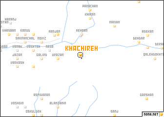
Khachīreh (Tehrān, Iran)Khachīreh is a town in the Tehrān region of Iran. An overview map of the region around Khachīreh is displayed below.
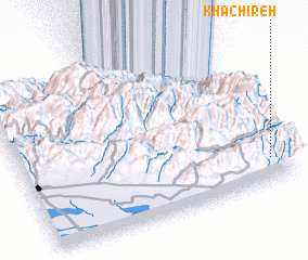
regional and 3d topo map of Khachīreh, Iran ::
Khachīreh airports ::
The nearest airport is THR - Teheran Mehrabad Intl, located 61.6 km south east of Khachīreh.
Other airports nearby include RZR - Ramsar (87.3 km north), RAS - Rasht (176.3 km north west), Nearby towns ::
 Places with similar names to Khachīreh, Iran ::
// Khochi-Ara (RU)
// Khaichara (BD)
// Khichara (BD)
// Khoshghar (BD)
// Khachhar (PK)
// Khachar (PK)
// (( Khocharoy )) (RU)
// (( Khashari )) (GE)
// Khashuri (GE)
// Khoshara (GE)
Disclaimer :: Information on this page comes without warranty of any kind |
||
|
Where is Khachīreh? Elevation and coordinates ::
Latitude (lat): 36°9'0"N Longitude (lon): 50°56'0"E
Elevation (approx.): 2277m (map arrows pan, magnifying glasses zoom) |
||
|
Visiting Khachīreh? Hotel/Accommodation ::
Book a hotel in Khachīreh Travel Guide ::
Buy a travel guide for Iran rental cars ::
car rental offers GPS waypoint ::
download a GPX waypoint (PoI) of Khachīreh for your GPS receiver
|
||