|
search place name
|
||
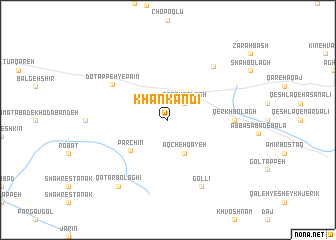
Khān Kandī (Iran)Khān Kandī is a town in Iran. An overview map of the region around Khān Kandī is displayed below.
regional and 3d topo map of Khān Kandī, Iran ::
Khān Kandī airports ::
The nearest airport is RAS - Rasht, located 151.6 km north east of Khān Kandī.
Other airports nearby include RZR - Ramsar (183.9 km north east), SDG - Sanandaj (194.8 km south west), KSH - Bakhtaran Shahid Ashrafi Esfahani (249.6 km south west), Nearby towns ::
Qareh Bolāgh (2.4km north east) //
Do Tappeh-ye Bālā (2.4km north east) //
Āqcheh Qayeh (4.0km south) //
Parchīn (4.8km south west) //
Do Tappeh-ye Pāʼīn (6.4km north west) //
Qerkhbolāgh (6.0km east) //
Qafasābād (7.3km north east) //
Gollī (8.0km south) //
Qaţār Bolāghī (8.7km south west) //
[all distances 'as the bird flies' and approximate] 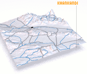 Places with similar names to Khān Kandī, Iran ::
// Khānagund (IN)
// Khān Kandī (IR)
// Khān Kandī (IR)
// Khān Kandī (IR)
// Khān Kandī (IR)
// Khān Kandī (IR)
// Khān Kandī (IR)
// Khān Kandī (IR)
Disclaimer :: Information on this page comes without warranty of any kind |
||
|
Where is Khān Kandī? Elevation and coordinates ::
Latitude (lat): 36°5'0"N Longitude (lon): 48°54'0"E
Elevation (approx.): 2009m (map arrows pan, magnifying glasses zoom) |
||
|
Visiting Khān Kandī? Hotel/Accommodation ::
Book a hotel in Khān Kandī Travel Guide ::
Buy a travel guide for Iran rental cars ::
car rental offers GPS waypoint ::
download a GPX waypoint (PoI) of Khān Kandī for your GPS receiver
|
||