|
search place name
|
||
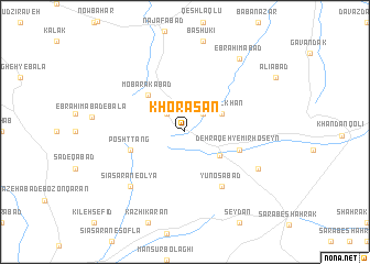
Khorāsān (Kordestān, Iran)Khorāsān is a town in the Kordestān region of Iran. An overview map of the region around Khorāsān is displayed below.
regional and 3d topo map of Khorāsān, Iran ::
Khorāsān airports ::
The nearest airport is SDG - Sanandaj, located 55.5 km south west of Khorāsān.
Other airports nearby include KSH - Bakhtaran Shahid Ashrafi Esfahani (150.6 km south), Nearby towns ::
Ḩoseyn Khān (2.4km north east) //
Bargoshād (2.4km north west) //
Zeynal Khān (3.5km north east) //
Shīrkosh-e ‘Olyā (3.7km south east) //
Mobārakābād (4.8km north west) //
Dehraqeh-ye Mīrḩoseyn (4.9km east) //
Posht Tang (4.9km west) //
Yūnosābād (6.3km south east) //
Sīā Sarān-e ‘Olyā (7.2km south west) //
Solţānābād-e Tanbalī (7.1km south east) //
Ebrāhīmābād (8.7km north east) //
[all distances 'as the bird flies' and approximate] 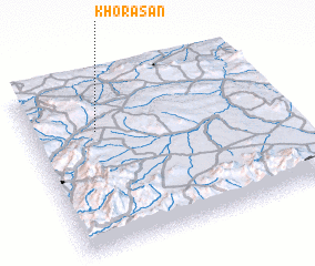 Places with similar names to Khorāsān, Iran ::
// Kherson (UA)
// Khorosno (UA)
// Khara-Usun (RU)
// Khariuznyy (RU)
// Kharsenoy (RU)
// Kherson (RU)
// Khairāsain (IN)
// Kherson (KZ)
// Kharrāzān (IR)
// Kharūzān (IR)
Disclaimer :: Information on this page comes without warranty of any kind |
||
|
Where is Khorāsān? Elevation and coordinates ::
Latitude (lat): 35°42'0"N Longitude (lon): 47°16'0"E
Elevation (approx.): 2080m (map arrows pan, magnifying glasses zoom) |
||
|
Visiting Khorāsān? Hotel/Accommodation ::
Book a hotel in Khorāsān Travel Guide ::
Buy a travel guide for Iran rental cars ::
car rental offers GPS waypoint ::
download a GPX waypoint (PoI) of Khorāsān for your GPS receiver
|
||