|
search place name
|
||
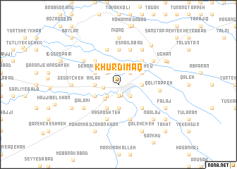
Khūrdīmāq (Iran)Khūrdīmāq is a town in Iran. An overview map of the region around Khūrdīmāq is displayed below.
regional and 3d topo map of Khūrdīmāq, Iran ::
Nearby towns ::
Mīnū Dasht (1.8km south) //
Pasarak (1.9km south) //
Moḩammadābād (1.9km south) //
Ḩasan Khān (2.0km west) //
Narmū (2.4km south east) //
Gūk Gol (2.4km north east) //
Alqajar (2.4km south west) //
Nīshāk (2.4km south west) //
Bāz Gīr (2.4km north west) //
Galū Kand (2.9km south west) //
Ḩoseyn Kord (3.0km east) //
Shāh Moḩammad (3.7km south) //
Qareh Anjīl (3.0km east) //
Amlāk (3.0km west) //
Ḩeydar Kolāchī (4.0km south) //
ParsahSū (3.5km north east) //
‘Abāsābād (3.5km south west) //
Deh ‘Abdollāh (3.5km north west) //
Ārām Nerow-e Pā'īn (4.7km south east) //
Ārām Nerow-e Bālā (4.7km south east) //
Balūchābād-e Amlāk (4.7km north east) //
Ūbeh-ye Gāv Mīshlī (4.7km north west) //
Mollā Esmā‘īl (5.6km north) //
Jangal Deh-e Pā'īn (5.8km south) //
Jangal Deh-e Bālā (5.8km south) //
Kharamkerū (5.8km south) //
Esmā‘īlābād (5.8km north) //
Pas Poshteh (5.8km south) //
Nīqāq-e ‘Olyā (5.8km north) //
[all distances 'as the bird flies' and approximate] 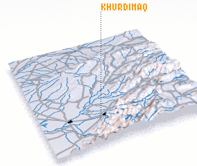 Places with similar names to Khūrdīmāq, Iran :: Disclaimer :: Information on this page comes without warranty of any kind |
||
|
Where is Khūrdīmāq? Elevation and coordinates ::
Latitude (lat): 37°14'0"N Longitude (lon): 55°22'0"E
Elevation (approx.): 142m (map arrows pan, magnifying glasses zoom) |
||
|
Visiting Khūrdīmāq? Hotel/Accommodation ::
Book a hotel in Khūrdīmāq Travel Guide ::
Buy a travel guide for Iran rental cars ::
car rental offers GPS waypoint ::
download a GPX waypoint (PoI) of Khūrdīmāq for your GPS receiver
|
||