|
search place name
|
||
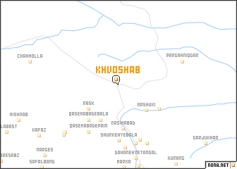
Khvoshāb (Khorāsān, Iran)Khvoshāb is a town in the Khorāsān region of Iran. An overview map of the region around Khvoshāb is displayed below.
regional and 3d topo map of Khvoshāb, Iran ::
Khvoshāb airports ::
The nearest airport is XBJ - Birjand, located 119.0 km west of Khvoshāb.
Other airports nearby include HEA - Herat (239.3 km north east), Nearby towns ::
Mashūkī (5.5km south east) //
Rāsk (5.5km south west) //
Bānbār (6.1km south west) //
Nasīmābād (7.0km south) //
Qāsemābād-e Bālā (6.9km south west) //
Haftād Rūd (6.6km south east) //
Qāsemābād-e Pā'īn (8.5km south west) //
Derakht-e Tūt (9.2km south) //
Lojeng-e Bālā (10.3km south west) //
Lojeng-e Pā'īn (10.8km south west) //
[all distances 'as the bird flies' and approximate] 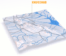 Places with similar names to Khvoshāb, Iran ::
// Khvosh Āb (IR)
// Khvosh Āb (IR)
// Khvosh Āb (IR)
// Khvoshāb (IR)
// Khvoshāb (IR)
// Khvoshāb (IR)
// Khvoshāb (IR)
// Khvoshāb (IR)
// Khvoshābeh (IR)
// Khvoshābeh (IR)
Disclaimer :: Information on this page comes without warranty of any kind |
||
|
Where is Khvoshāb? Elevation and coordinates ::
Latitude (lat): 32°37'3"N Longitude (lon): 60°29'32"E
Elevation (approx.): 1079m (map arrows pan, magnifying glasses zoom) |
||
|
Visiting Khvoshāb? Hotel/Accommodation ::
Book a hotel in Khvoshāb Travel Guide ::
Buy a travel guide for Iran rental cars ::
car rental offers GPS waypoint ::
download a GPX waypoint (PoI) of Khvoshāb for your GPS receiver
|
||