|
search place name
|
||
Lamsak (Golestān, Iran)Lamsak is a town in the Golestān region of Iran. An overview map of the region around Lamsak is displayed below.
regional and 3d topo map of Lamsak, Iran ::
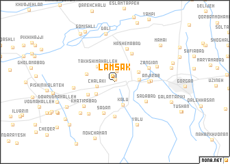
Nearby towns ::
Varsan (0.4km north) //
Laldevīn (1.7km north) //
Qalandar Maḩalleh (2.3km north) //
Chālakī (2.5km west) //
Kolājān-e Qājār (3.1km south west) //
Takhshī Maḩalleh (3.4km north west) //
Pat Bāgh (3.2km east) //
Kalū (3.9km south) //
Fatḩ Bāgh (3.2km east) //
Lāmlang (3.5km north east) //
Ḩeydarābād (3.9km west) //
Kolājān-e Sādāt (4.1km south west) //
Qal‘eh Maḩmūd (5.1km north east) //
Sadan (5.3km south) //
Kolā Sangīān (5.3km south) //
Tappeh-ye Rāhnemā'ī (4.4km east) //
Seyyed Mīrān (5.7km south) //
Hāshemābād (5.6km north) //
Anjīr Āb (4.7km east) //
Sa‘dābād (5.1km south east) //
Zangīān (5.0km north east) //
Khaţīrābād (5.7km south west) //
Shagīrī (6.2km south west) //
Espū Maḩalleh (6.2km south west) //
Nowdījeh (5.5km west) //
Ūjāben (6.1km north east) //
Sar Kalāteh-ye Kafshgīrī (6.8km south west) //
Yālū (7.6km south east) //
Dālī (8.0km north) //
[all distances 'as the bird flies' and approximate] 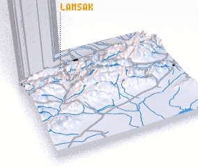 Places with similar names to Lamsak, Iran ::
Disclaimer :: Information on this page comes without warranty of any kind |
||
|
Where is Lamsak? Elevation and coordinates ::
Latitude (lat): 36°50'46"N Longitude (lon): 54°20'1"E
Elevation (approx.): 64m (map arrows pan, magnifying glasses zoom) |
||
|
Visiting Lamsak? Hotel/Accommodation ::
Book a hotel in Lamsak Travel Guide ::
Buy a travel guide for Iran rental cars ::
car rental offers GPS waypoint ::
download a GPX waypoint (PoI) of Lamsak for your GPS receiver
|
||