|
search place name
|
||
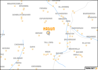
Mādūn (Kermān, Iran)Mādūn is a town in the Kermān region of Iran. An overview map of the region around Mādūn is displayed below.
regional and 3d topo map of Mādūn, Iran ::
Mādūn airports ::
The nearest airport is KER - Kerman, located 87.1 km north east of Mādūn.
Nearby towns ::
Madīm-e Pā'īn (2.3km north west) //
Tall Zard (3.7km south) //
Bondar (3.4km west) //
Kantū'īyeh (4.6km south east) //
Esfūrīn-e Bālā (5.1km north) //
Esfūrīn-e Pā'īn (5.6km north) //
Chashmeh Shūr (6.3km east) //
Chamanrang (6.7km north east) //
Chenār Sūkhteh (7.3km south) //
Āb-e Garm (6.9km north east) //
Madīm (7.4km south) //
Khaţīr (7.6km south) //
Jūjeng (6.8km south east) //
Deh Nowrūz (7.6km south) //
Ahrū'īyeh (7.0km east) //
Gazū'īyeh (7.3km north east) //
Deh Tavakkol (8.1km south) //
Gūrīk (7.7km south west) //
Farkān (7.6km south east) //
Qal‘eh ‘Asgar (7.4km east) //
Rang (7.7km north east) //
Keykhosravī (8.4km north east) //
Ja‘farābād (8.3km north east) //
Kahn Ya‘qūb (7.8km north east) //
Qūchān (8.7km south east) //
Farhādī-ye Pā'īn (8.9km north) //
[all distances 'as the bird flies' and approximate] 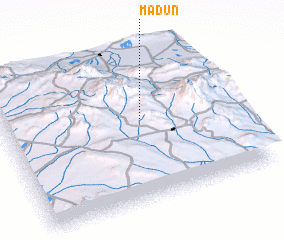 Places with similar names to Mādūn, Iran ::
Disclaimer :: Information on this page comes without warranty of any kind |
||
|
Where is Mādūn? Elevation and coordinates ::
Latitude (lat): 29°33'0"N Longitude (lon): 56°36'5"E
Elevation (approx.): 2701m (map arrows pan, magnifying glasses zoom) |
||
|
Visiting Mādūn? Hotel/Accommodation ::
Book a hotel in Mādūn Travel Guide ::
Buy a travel guide for Iran rental cars ::
car rental offers GPS waypoint ::
download a GPX waypoint (PoI) of Mādūn for your GPS receiver
|
||