|
search place name
|
||
Mārān Kalāteh (Golestān, Iran)Mārān Kalāteh is a town in the Golestān region of Iran. An overview map of the region around Mārān Kalāteh is displayed below.
regional and 3d topo map of Mārān Kalāteh, Iran ::
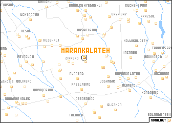
Nearby towns ::
Z̄abīḩābād (0.0km north) //
Ẕīā'ābād (2.3km west) //
Bāqerābād (3.0km west) //
Bolūk-e Gholām (3.2km south east) //
Ālūstān (3.3km east) //
Āvānsīyeh (3.5km north east) //
Nūrābād (4.0km south) //
Dasam Chāh (3.7km east) //
Davajī Ūdok (5.0km north) //
Khvosh Garpī (4.4km east) //
Ḩājjīābād (4.4km east) //
Ḩasan Ţabīb (5.8km north) //
Goleh (5.8km north) //
Shojā‘ābād (4.8km south west) //
Noşratābād (5.1km south east) //
Jahān Bīnī (4.8km west) //
Qūshkorpī (4.8km east) //
Shamsābād (5.0km south west) //
Fāẕelābād (6.1km south) //
Qarah Bolāgh (5.7km north west) //
Bāgh-e Shūr Tappeh (6.3km north east) //
Bāqerābād (5.8km south west) //
Bahalkeh-ye Nafas (6.8km north east) //
Voshmgīr (6.7km south east) //
Shīrang-e Bālā (6.2km west) //
Shīrang-e Pā'īn (6.2km west) //
Kūzeh ‘Alī (6.9km north west) //
Yāvar Kalāteh (7.0km south east) //
Now Deh-e Katūl (7.9km south east) //
[all distances 'as the bird flies' and approximate] 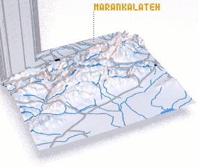 Places with similar names to Mārān Kalāteh, Iran :: Disclaimer :: Information on this page comes without warranty of any kind |
||
|
Where is Mārān Kalāteh? Elevation and coordinates ::
Latitude (lat): 36°58'0"N Longitude (lon): 54°47'0"E
Elevation (approx.): 82m (map arrows pan, magnifying glasses zoom) |
||
|
Visiting Mārān Kalāteh? Hotel/Accommodation ::
Book a hotel in Mārān Kalāteh Travel Guide ::
Buy a travel guide for Iran rental cars ::
car rental offers GPS waypoint ::
download a GPX waypoint (PoI) of Mārān Kalāteh for your GPS receiver
|
||