|
search place name
|
||
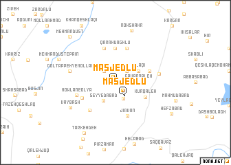
Masjedlū (Iran)Masjedlū is a town in Iran. An overview map of the region around Masjedlū is displayed below.
regional and 3d topo map of Masjedlū, Iran ::
Masjedlū airports ::
The nearest airport is RAS - Rasht, located 131.2 km south east of Masjedlū.
Nearby towns ::
Rostam Qeshlāqī (2.4km north east) //
Razgāh (2.4km north west) //
Masjedlū (2.5km south east) //
Īnalū (2.8km south) //
Seyyedābād (3.3km south west) //
Gāvar Qal‘eh (2.9km east) //
Qarahvalī (3.5km north east) //
Kūr Qal‘eh (4.5km south east) //
Qarah Dāghlū (5.6km north) //
Jīāvān (5.7km south) //
Dalīlar (4.8km north east) //
Ḩeşā r (5.7km north) //
Ālūcheh (5.7km north) //
Mowlān-e Soflá (5.0km south west) //
Pīlah Galīn (5.6km south west) //
Mowlān-e ‘Olyā (5.4km south west) //
Būdālālū (5.7km east) //
Gol Tappeh-ye Mollā'ī (6.1km west) //
Vāybāsh (7.1km south west) //
Now Shahr (8.7km north) //
Tarkeh Deh (9.1km south west) //
Mehmāndūst (9.4km north west) //
[all distances 'as the bird flies' and approximate] 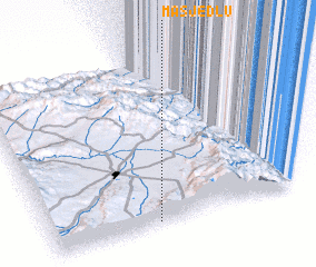 Places with similar names to Masjedlū, Iran ::
Disclaimer :: Information on this page comes without warranty of any kind |
||
|
Where is Masjedlū? Elevation and coordinates ::
Latitude (lat): 38°1'0"N Longitude (lon): 48°24'0"E
Elevation (approx.): 1883m (map arrows pan, magnifying glasses zoom) |
||
|
Visiting Masjedlū? Hotel/Accommodation ::
Book a hotel in Masjedlū Travel Guide ::
Buy a travel guide for Iran rental cars ::
car rental offers GPS waypoint ::
download a GPX waypoint (PoI) of Masjedlū for your GPS receiver
|
||