|
search place name
|
||
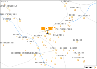
Mehrīān (Fārs, Iran)Mehrīān is a town in the Fārs region of Iran. An overview map of the region around Mehrīān is displayed below.
regional and 3d topo map of Mehrīān, Iran ::
Mehrīān airports ::
The nearest airport is SYZ - Shiraz Shahid Dastghaib Intl, located 70.0 km south west of Mehrīān.
Nearby towns ::
Zīādābād (0.6km east) //
Raḩmatābād (0.6km west) //
Nārak (1.4km south west) //
Tolombeh-ye Āyatollāhzādeh (1.4km south west) //
Sa‘ādatābād (1.4km south west) //
Nūrābād (1.6km south east) //
Darreh Āhakī (1.7km north west) //
Khobrīz (2.3km south) //
Jamālābād (2.1km east) //
Qaşr-e Jamāl (3.0km south east) //
Seyyedābād-e Bālā (3.6km south west) //
Şāleḩābād (3.5km east) //
Şafarābād (3.9km south east) //
Valīābād (3.7km west) //
Raḩīmābād (4.5km south) //
Seyyedābād-e Pā'īn (4.5km south) //
Ja‘farābād (5.2km south) //
Kamālābād (5.2km north east) //
Deh Bīd (5.3km west) //
Şāleḩābād-e Pāʼīn (5.4km east) //
Deh Now (5.7km south west) //
Kūshk (6.4km south) //
Ḩoseynābād (6.4km south west) //
Dehak (6.6km south east) //
Ḩasanābād (6.6km west) //
Shūrāb (7.6km south) //
‘Alīābād (7.0km south west) //
Aḩmadābād (8.0km south) //
Qeshlāq (7.5km north east) //
[all distances 'as the bird flies' and approximate] 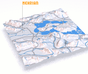 Places with similar names to Mehrīān, Iran ::
Disclaimer :: Information on this page comes without warranty of any kind |
||
|
Where is Mehrīān? Elevation and coordinates ::
Latitude (lat): 29°48'21"N Longitude (lon): 53°14'45"E
Elevation (approx.): 1591m (map arrows pan, magnifying glasses zoom) |
||
|
Visiting Mehrīān? Hotel/Accommodation ::
Book a hotel in Mehrīān Travel Guide ::
Buy a travel guide for Iran rental cars ::
car rental offers GPS waypoint ::
download a GPX waypoint (PoI) of Mehrīān for your GPS receiver
|
||