|
search place name
|
||
Mīlāndar (Eşfahān, Iran)Mīlāndar is a town in the Eşfahān region of Iran. An overview map of the region around Mīlāndar is displayed below.
regional and 3d topo map of Mīlāndar, Iran ::

Nearby towns ::
Sar Dahan (2.6km west) //
Bāgh-e Rezvān (3.3km north west) //
Mazra‘eh-ye Gūdarzan (3.3km east) //
Ma‘dan-e Cham Darreh (5.0km south east) //
Ḩamzeh (6.3km north) //
Chāh Qom (6.0km north east) //
Nīyeh (6.7km north west) //
Pā Bokht (7.3km north west) //
Bāgh-e Shāh (9.1km north east) //
Yameh (9.8km south east) //
[all distances 'as the bird flies' and approximate] 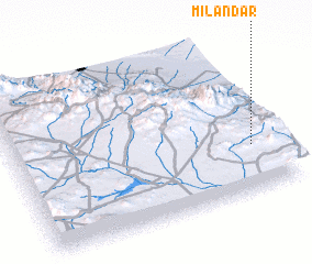 Places with similar names to Mīlāndar, Iran ::
// Mallendar (DE)
// Malandre (IT)
// Malandira (MG)
// Mlandera (TZ)
// Mīl-e Nāder (IR)
// Mīl-e Nāder (IR)
// Melendre (VE)
// Malandro (MZ)
// Malandry (FR)
// Molandier (FR)
Disclaimer :: Information on this page comes without warranty of any kind |
||
|
Where is Mīlāndar? Elevation and coordinates ::
Latitude (lat): 33°17'37"N Longitude (lon): 51°54'23"E
Elevation (approx.): 2045m (map arrows pan, magnifying glasses zoom) |
||
|
Visiting Mīlāndar? Hotel/Accommodation ::
Book a hotel in Mīlāndar Travel Guide ::
Buy a travel guide for Iran rental cars ::
car rental offers GPS waypoint ::
download a GPX waypoint (PoI) of Mīlāndar for your GPS receiver
|
||