|
search place name
|
||
Mīr Kheyrollāh (Fārs, Iran)Mīr Kheyrollāh is a town in the Fārs region of Iran. An overview map of the region around Mīr Kheyrollāh is displayed below.
regional and 3d topo map of Mīr Kheyrollāh, Iran ::

Mīr Kheyrollāh airports ::
The nearest airport is SYZ - Shiraz Shahid Dastghaib Intl, located 122.7 km south east of Mīr Kheyrollāh.
Other airports nearby include BUZ - Bushehr (160.9 km south west), Nearby towns ::
Takhtak (1.6km east) //
Chahār Rāh (2.1km south west) //
Mordād (2.1km west) //
Nārak (2.3km south east) //
Gūrāb (2.6km south) //
Ẕāmenī-ye Pā'īn (2.7km north west) //
Lowgā (3.2km east) //
Tovel Tang (3.7km south) //
Bard Kūh (4.0km north) //
Top (3.7km south east) //
Eshkaft-e Derāz (3.7km south east) //
Rejālū (3.9km north east) //
Nīk (4.2km east) //
Kherengān (4.9km north east) //
Khalīfehʼī (4.9km south east) //
Shīrīn (4.9km south east) //
Sar Āsīāb-e Bālā (5.6km south) //
Āb Pakhshūn (5.3km south west) //
Teyak (5.1km east) //
Showsanī (5.1km west) //
Maşīrī (5.4km north west) //
Faẕīleh (5.9km south east) //
Bīsheh-ye Balahzār (6.4km south west) //
Bīsheh-ye Pā Kamar (6.4km south west) //
Shāh Jahān Aḩmad (6.1km north west) //
Gāv Pīāzī (7.0km south) //
‘Abdollāhī-ye Pā'īn (6.6km south west) //
Dow Dāngeh-ye Khvājeh (7.4km south) //
Bāqerī (6.4km west) //
[all distances 'as the bird flies' and approximate] 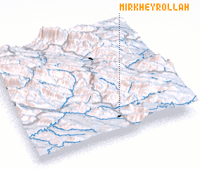 Places with similar names to Mīr Kheyrollāh, Iran :: Disclaimer :: Information on this page comes without warranty of any kind |
||
|
Where is Mīr Kheyrollāh? Elevation and coordinates ::
Latitude (lat): 30°14'0"N Longitude (lon): 51°36'0"E
Elevation (approx.): 1630m (map arrows pan, magnifying glasses zoom) |
||
|
Visiting Mīr Kheyrollāh? Hotel/Accommodation ::
Book a hotel in Mīr Kheyrollāh Travel Guide ::
Buy a travel guide for Iran rental cars ::
car rental offers GPS waypoint ::
download a GPX waypoint (PoI) of Mīr Kheyrollāh for your GPS receiver
|
||