|
search place name
|
||
Mīrshekārlū (Ostān-e Āz̄arbāyjān-e Gharbī, Iran)Mīrshekārlū is a town in the Ostān-e Āz̄arbāyjān-e Gharbī region of Iran. An overview map of the region around Mīrshekārlū is displayed below.
regional and 3d topo map of Mīrshekārlū, Iran ::

Mīrshekārlū airports ::
The nearest airport is TBZ - Tabriz Intl, located 119.9 km north east of Mīrshekārlū.
Other airports nearby include VAN - Van (202.6 km north west), Nearby towns ::
Nāybīn (0.0km north) //
Alqīān (1.9km north) //
Ḩasanābād (1.5km east) //
Morād‘Alī-ye ‘Olyā (1.5km west) //
Kheẕrābād (1.5km west) //
Dārbārūd (1.9km south) //
Tappeh Torkamān (2.4km north east) //
Morād‘Alī-ye Soflá (2.4km north west) //
Sardrūd (2.4km south east) //
Bābārūd (2.4km south east) //
Ḩeşār-e Torkamān (3.7km north) //
Goldānlū (2.9km west) //
Zovīk (2.9km west) //
Tappeh Mākū (3.7km south) //
Bālānej (3.2km south west) //
Tāzeh Kand (3.5km north east) //
Qarālar-e Ḩājjqāsem (4.0km north) //
Moqaddam (4.0km north) //
‘Arablū (3.5km south east) //
Morādkandī (3.5km south east) //
Jeyrān-e ‘Olyā (3.5km south east) //
Qarālar-e Āqātaqī (3.5km north west) //
Fūlādlū (3.5km south west) //
Bozorgābād (4.0km south) //
Ordūshāhī (4.7km north east) //
Kūsehābād (4.7km north west) //
Sā‘atlū-ye Bīvaleh (4.5km north west) //
Shāhīnābād (5.6km north) //
Dīzaj-e Takyeh (4.4km west) //
[all distances 'as the bird flies' and approximate] 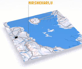 Places with similar names to Mīrshekārlū, Iran :: Disclaimer :: Information on this page comes without warranty of any kind |
||
|
Where is Mīrshekārlū? Elevation and coordinates ::
Latitude (lat): 37°25'0"N Longitude (lon): 45°13'0"E
Elevation (approx.): 1286m (map arrows pan, magnifying glasses zoom) |
||
|
Visiting Mīrshekārlū? Hotel/Accommodation ::
Book a hotel in Mīrshekārlū Travel Guide ::
Buy a travel guide for Iran rental cars ::
car rental offers GPS waypoint ::
download a GPX waypoint (PoI) of Mīrshekārlū for your GPS receiver
|
||