|
search place name
|
||
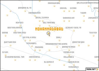
Moḩammadābād (Kordestān, Iran)Moḩammadābād is a town in the Kordestān region of Iran. An overview map of the region around Moḩammadābād is displayed below.
regional and 3d topo map of Moḩammadābād, Iran ::
Moḩammadābād airports ::
The nearest airport is SDG - Sanandaj, located 134.9 km south west of Moḩammadābād.
Other airports nearby include RAS - Rasht (202.3 km north east), KSH - Bakhtaran Shahid Ashrafi Esfahani (224.5 km south), TBZ - Tabriz Intl (240.8 km north west), Nearby towns ::
Chālāb (0.0km north) //
Qeyţās (2.4km north east) //
Solţānābād (3.7km north) //
Gahlī (3.5km south east) //
Ḩasanābād-e Yāsūkand (4.9km south east) //
Maḩmūdābād (4.8km north west) //
Sheykh Beshārat (5.6km south) //
Qezel Tappeh (5.9km north) //
Nowshād (6.3km south west) //
Moḩammad Jān (6.3km north west) //
Seyf‘alī Kandī (6.3km west) //
Nūr Moḩammad Kandī (7.1km south west) //
Eslāmābād (7.1km north east) //
Yengīābād (6.8km south west) //
Kārvānsarā (8.7km north west) //
Qarāq Tappeh (8.2km south east) //
Shāhneshīn (8.2km north east) //
Yān Bolāgh (9.5km south east) //
[all distances 'as the bird flies' and approximate] 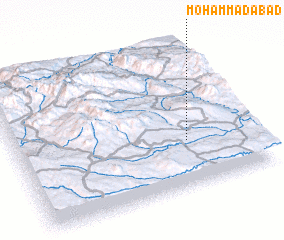 Places with similar names to Moḩammadābād, Iran ::
// Muhammadābād (IN)
// Muhammadābād (IN)
// Muhammadābād (IN)
// Muhammadābād (IN)
// Muhammadābād (IN)
// Muhammadābād (IN)
// Moḩammadābād (IR)
// Moḩammadābād (IR)
// Moḩammadābād (IR)
// Moḩammadābād (IR)
Disclaimer :: Information on this page comes without warranty of any kind |
||
|
Where is Moḩammadābād? Elevation and coordinates ::
Latitude (lat): 36°19'0"N Longitude (lon): 47°43'0"E
Elevation (approx.): 1759m (map arrows pan, magnifying glasses zoom) |
||
|
Visiting Moḩammadābād? Hotel/Accommodation ::
Book a hotel in Moḩammadābād Travel Guide ::
Buy a travel guide for Iran rental cars ::
car rental offers GPS waypoint ::
download a GPX waypoint (PoI) of Moḩammadābād for your GPS receiver
|
||