|
search place name
|
||
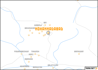
Moḩammadābād (Fārs, Iran)Moḩammadābād is a town in the Fārs region of Iran. An overview map of the region around Moḩammadābād is displayed below.
regional and 3d topo map of Moḩammadābād, Iran ::
Moḩammadābād airports ::
The nearest airport is BND - Bandar Abbass Intl, located 163.3 km south east of Moḩammadābād.
Other airports nearby include BDH - Bandar Lengeh (198.0 km south), KIH - Kish Island (230.5 km south west), KER - Kerman (277.0 km north east), Nearby towns ::
Qal‘eh-ye Bahman Fereydūn (1.4km west) //
Shāh Abū Zakarīā (1.9km north) //
Naşīrābād (1.8km west) //
Qal‘eh Now (2.8km north west) //
Fūrg (3.5km north west) //
Noşratābād (3.4km west) //
Bāgh-e Bīdū (3.9km north) //
Bīn (4.1km north) //
Do Borjī (4.7km north west) //
Shāh Marz (5.7km west) //
Bakhshkār (6.6km west) //
Sadeh (6.8km west) //
Morādābād (8.5km south west) //
Ţāhūneh (8.6km south west) //
Morz (10.3km south west) //
[all distances 'as the bird flies' and approximate] 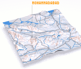 Places with similar names to Moḩammadābād, Iran ::
// Muhammadābād (IN)
// Muhammadābād (IN)
// Muhammadābād (IN)
// Muhammadābād (IN)
// Muhammadābād (IN)
// Muhammadābād (IN)
// Moḩammadābād (IR)
// Moḩammadābād (IR)
// Moḩammadābād (IR)
// Moḩammadābād (IR)
Disclaimer :: Information on this page comes without warranty of any kind |
||
|
Where is Moḩammadābād? Elevation and coordinates ::
Latitude (lat): 28°16'54"N Longitude (lon): 55°13'50"E
Elevation (approx.): 885m (map arrows pan, magnifying glasses zoom) |
||
|
Visiting Moḩammadābād? Hotel/Accommodation ::
Book a hotel in Moḩammadābād Travel Guide ::
Buy a travel guide for Iran rental cars ::
car rental offers GPS waypoint ::
download a GPX waypoint (PoI) of Moḩammadābād for your GPS receiver
|
||