|
search place name
|
||
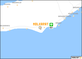
Molkarāt (Hormozgān, Iran)Molkarāt is a town in the Hormozgān region of Iran. An overview map of the region around Molkarāt is displayed below.
regional and 3d topo map of Molkarāt, Iran ::
Molkarāt airports ::
The nearest airport is BDH - Bandar Lengeh, located 4.8 km north east of Molkarāt.
Other airports nearby include KIH - Kish Island (80.0 km west), SHJ - Sharjah Intl (150.4 km south east), KHS - Khasab (150.4 km east), DXB - Dubai Intl (151.2 km south east), Nearby towns ::
Bandar-e Shenās (1.7km north east) //
Bandar-e Mollū (5.8km west) //
Gasheh (7.5km east) //
[all distances 'as the bird flies' and approximate] 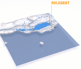 Places with similar names to Molkarāt, Iran ::
// Mühlkreit (DE)
// Malagrotta (IT)
// Malyye Ugorody (RU)
// Muligort (RU)
// Malyy Kart (KZ)
// Malek Rūd (IR)
// Malka Rodi (PK)
// Malgarada (HN)
// Malguarita (HN)
// Malquerida (VE)
Disclaimer :: Information on this page comes without warranty of any kind |
||
|
Where is Molkarāt? Elevation and coordinates ::
Latitude (lat): 26°30'44"N Longitude (lon): 54°46'56"E
Elevation (approx.): 5m (map arrows pan, magnifying glasses zoom) |
||
|
Visiting Molkarāt? Hotel/Accommodation ::
Book a hotel in Molkarāt Travel Guide ::
Buy a travel guide for Iran rental cars ::
car rental offers GPS waypoint ::
download a GPX waypoint (PoI) of Molkarāt for your GPS receiver
|
||