|
search place name
|
||
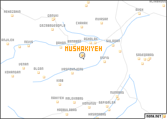
Mūshakīyeh (Iran)Mūshakīyeh is a town in Iran. An overview map of the region around Mūshakīyeh is displayed below.
regional and 3d topo map of Mūshakīyeh, Iran ::
Mūshakīyeh airports ::
The nearest airport is THR - Teheran Mehrabad Intl, located 142.8 km north east of Mūshakīyeh.
Nearby towns ::
Banābar (3.6km north west) //
Vasfownjerd (3.7km south west) //
Āgholak (4.0km north) //
Qods (4.3km north east) //
Jemezqān (4.2km north west) //
Esfīd (3.9km east) //
Qāhān (5.0km north west) //
Chāhak (7.3km north) //
Sūlaqān (6.3km north east) //
Kīāb (7.1km south west) //
‘Alīābād-e Naz̧arkhānī (7.0km east) //
‘Alījān Beygī (7.0km east) //
Rīvāsar (8.9km north) //
Gazābād-e Soflá (8.9km north west) //
Nūrābād (10.4km south east) //
Seft (10.9km south east) //
[all distances 'as the bird flies' and approximate] 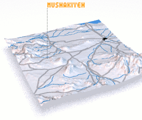 Places with similar names to Mūshakīyeh, Iran ::
Disclaimer :: Information on this page comes without warranty of any kind |
||
|
Where is Mūshakīyeh? Elevation and coordinates ::
Latitude (lat): 34°42'0"N Longitude (lon): 50°18'35"E
Elevation (approx.): 1453m (map arrows pan, magnifying glasses zoom) |
||
|
Visiting Mūshakīyeh? Hotel/Accommodation ::
Book a hotel in Mūshakīyeh Travel Guide ::
Buy a travel guide for Iran rental cars ::
car rental offers GPS waypoint ::
download a GPX waypoint (PoI) of Mūshakīyeh for your GPS receiver
|
||