|
search place name
|
||
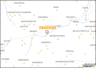
Nahr Mīān (Iran)Nahr Mīān is a town in Iran. An overview map of the region around Nahr Mīān is displayed below.
regional and 3d topo map of Nahr Mīān, Iran ::
Nahr Mīān airports ::
The nearest airport is QMJ - Masjed Soleiman Shahid Asyaee, located 221.6 km south of Nahr Mīān.
Nearby towns ::
Kūs ‘Alī (0.9km south west) //
Qal‘eh-ye Nahr Mīān (2.4km north east) //
Sarvar Mazra‘eh (3.6km south east) //
Morvārīd Darreh (3.9km south east) //
Chaqā Sīāh (4.5km south) //
Bahmanī (4.6km west) //
Z̧ahīrābād (5.8km north) //
Savārābād (5.9km south) //
Mazra‘eh-ye Khātūn (5.6km west) //
Sang-e Sefīd (5.9km north west) //
Katīrān-e Soflá (6.9km south) //
Katīrān-e ‘Olyā (7.6km south) //
Gol-e Zard-e Qal‘eh (6.9km south west) //
Qal‘eh-ye Bonyād (7.2km north west) //
Tāj-e Dowlatshāh (8.0km south west) //
Kherkheb (8.7km north west) //
Qūsh Tappeh (8.7km north west) //
Tūreh (9.2km north east) //
Parkalehhā (10.6km south east) //
Pāmūzaj (10.7km south east) //
[all distances 'as the bird flies' and approximate] 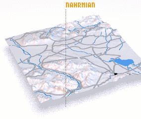 Places with similar names to Nahr Mīān, Iran ::
Disclaimer :: Information on this page comes without warranty of any kind |
||
|
Where is Nahr Mīān? Elevation and coordinates ::
Latitude (lat): 34°0'0"N Longitude (lon): 49°13'0"E
Elevation (approx.): 1940m (map arrows pan, magnifying glasses zoom) |
||
|
Visiting Nahr Mīān? Hotel/Accommodation ::
Book a hotel in Nahr Mīān Travel Guide ::
Buy a travel guide for Iran rental cars ::
car rental offers GPS waypoint ::
download a GPX waypoint (PoI) of Nahr Mīān for your GPS receiver
|
||