|
search place name
|
||
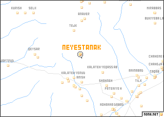
Neyestānak (Khorāsān, Iran)Neyestānak is a town in the Khorāsān region of Iran. An overview map of the region around Neyestānak is displayed below.
regional and 3d topo map of Neyestānak, Iran ::
Neyestānak airports ::
The nearest airport is XBJ - Birjand, located 45.3 km east of Neyestānak.
Nearby towns ::
Kalāteh-ye Rūd (4.6km south) //
Ārīsh (5.5km south) //
Dastgerd (5.4km south west) //
Kalāteh-ye Qaşşāb (5.1km south east) //
Kalāt Shīb-e Dastgerd (5.8km south west) //
Kalāteh-yeShīb-e Dastgerd (5.8km south west) //
Chār Jatī (6.4km south) //
‘Alīābād-e ‘Alī Naz̧ar (6.5km south) //
Tejk (6.6km north) //
‘Alīābād Bālā (6.7km south) //
‘Alīābād-e Bālā (6.7km south) //
‘Alīābād-e Pā'īn (7.0km south) //
Shūr Āb (6.7km south west) //
Shahneh (7.8km south east) //
Pedarhā (8.6km south) //
‘Anābīyeh (8.6km north) //
Fāţemīyeh (10.0km south east) //
Naşrābād (10.5km south east) //
[all distances 'as the bird flies' and approximate] 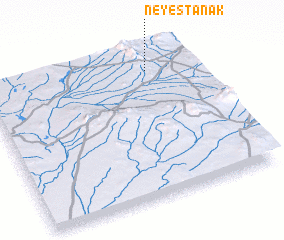 Places with similar names to Neyestānak, Iran ::
Disclaimer :: Information on this page comes without warranty of any kind |
||
|
Where is Neyestānak? Elevation and coordinates ::
Latitude (lat): 32°52'21"N Longitude (lon): 58°47'0"E
Elevation (approx.): 1465m (map arrows pan, magnifying glasses zoom) |
||
|
Visiting Neyestānak? Hotel/Accommodation ::
Book a hotel in Neyestānak Travel Guide ::
Buy a travel guide for Iran rental cars ::
car rental offers GPS waypoint ::
download a GPX waypoint (PoI) of Neyestānak for your GPS receiver
|
||