|
search place name
|
||
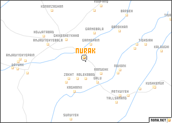
Nūrak (Kermān, Iran)Nūrak is a town in the Kermān region of Iran. An overview map of the region around Nūrak is displayed below.
regional and 3d topo map of Nūrak, Iran ::
Nūrak airports ::
The nearest airport is BND - Bandar Abbass Intl, located 215.8 km south west of Nūrak.
Other airports nearby include KER - Kerman (239.0 km north west), Nearby towns ::
Konār Sabz (1.9km north) //
Malekābād (3.7km south) //
Garm-e Pāʼīn (3.9km north) //
Dowrzanān (4.0km south west) //
Mardehk (3.9km south east) //
Galū (5.0km south east) //
Āb Sardū'īyeh-ye Jamāl (4.9km south west) //
Ḩasanābād (4.9km south west) //
Zākht (4.9km south west) //
Zākht (5.9km south west) //
Ghīk-e Sheykhhā (6.0km north west) //
Garm-e Bālā (6.4km north) //
Kaghārkī (6.9km south) //
Rūd-e Āb-e Pāʼīn (6.7km east) //
Novork (6.8km east) //
Amjadīyeh-ye Bālā (8.2km north west) //
Āb Rokhān (9.2km north east) //
Patkū'īyeh (9.9km south east) //
Tall Samand (10.6km south east) //
[all distances 'as the bird flies' and approximate] 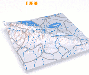 Places with similar names to Nūrak, Iran ::
Disclaimer :: Information on this page comes without warranty of any kind |
||
|
Where is Nūrak? Elevation and coordinates ::
Latitude (lat): 28°23'0"N Longitude (lon): 58°8'0"E
Elevation (approx.): 918m (map arrows pan, magnifying glasses zoom) |
||
|
Visiting Nūrak? Hotel/Accommodation ::
Book a hotel in Nūrak Travel Guide ::
Buy a travel guide for Iran rental cars ::
car rental offers GPS waypoint ::
download a GPX waypoint (PoI) of Nūrak for your GPS receiver
|
||