|
search place name
|
||
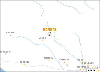
Pas Bol (Fārs, Iran)Pas Bol is a town in the Fārs region of Iran. An overview map of the region around Pas Bol is displayed below.
regional and 3d topo map of Pas Bol, Iran ::
Pas Bol airports ::
The nearest airport is SYZ - Shiraz Shahid Dastghaib Intl, located 133.7 km south of Pas Bol.
Other airports nearby include AZD - Yazd Shahid Sadooghi (190.2 km north east), BUZ - Bushehr (275.7 km south west), Nearby towns ::
Jūchīn (2.9km south west) //
Ḩasanābād-e Kesht Maḩakī (2.9km south east) //
[all distances 'as the bird flies' and approximate] 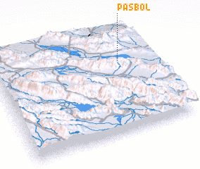 Places with similar names to Pas Bol, Iran ::
Disclaimer :: Information on this page comes without warranty of any kind |
||
|
Where is Pas Bol? Elevation and coordinates ::
Latitude (lat): 30°43'42"N Longitude (lon): 52°49'21"E
Elevation (approx.): 2625m (map arrows pan, magnifying glasses zoom) |
||
|
Visiting Pas Bol? Hotel/Accommodation ::
Book a hotel in Pas Bol Travel Guide ::
Buy a travel guide for Iran rental cars ::
car rental offers GPS waypoint ::
download a GPX waypoint (PoI) of Pas Bol for your GPS receiver
|
||