|
search place name
|
||
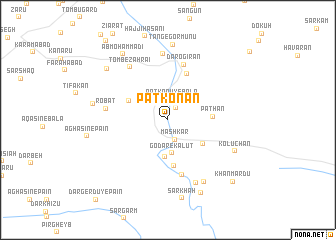
Patkonān (Hormozgān, Iran)Patkonān is a town in the Hormozgān region of Iran. An overview map of the region around Patkonān is displayed below.
regional and 3d topo map of Patkonān, Iran ::
Patkonān airports ::
The nearest airport is BND - Bandar Abbass Intl, located 56.7 km south of Patkonān.
Other airports nearby include KHS - Khasab (173.2 km south), BDH - Bandar Lengeh (213.2 km south west), Nearby towns ::
Patkonū-ye Pā'īn (1.5km north east) //
Māshkār (2.3km south) //
Patkonū-ye Bālā (2.4km north) //
Godār-e Kalūt (3.7km south) //
Sang-e Dar Bāgh (4.1km south) //
Khūr Moghān (4.4km south east) //
Pathān (4.4km north west) //
Pathān (4.4km east) //
Parjangāh (5.2km south) //
Bangelāyān (5.5km north) //
Sarkhā (6.3km south) //
Darogīrān (6.4km north) //
Robāţ (6.2km west) //
Tomb-e Zahrā'ī (7.0km north west) //
Māshārī (7.4km north) //
Estakhr-e Ḩaẕrat-e Bībī (7.6km south) //
Godār Narān (7.8km south east) //
Kolūchān (7.5km south east) //
Tang-e Gormūnū (8.4km north) //
Korūkān (7.6km west) //
Mowlā-ye ‘Alī (8.2km north west) //
Āb Moḩammadī (8.6km north west) //
Sarkhāh (8.9km south) //
Davāzdah Emām (8.8km south) //
Khān Mardū (9.4km south east) //
Pākūh (10.7km north west) //
[all distances 'as the bird flies' and approximate] 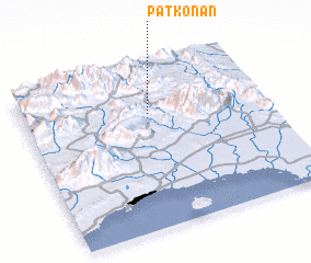 Places with similar names to Patkonān, Iran ::
Disclaimer :: Information on this page comes without warranty of any kind |
||
|
Where is Patkonān? Elevation and coordinates ::
Latitude (lat): 27°42'49"N Longitude (lon): 56°31'19"E
Elevation (approx.): 501m (map arrows pan, magnifying glasses zoom) |
||
|
Visiting Patkonān? Hotel/Accommodation ::
Book a hotel in Patkonān Travel Guide ::
Buy a travel guide for Iran rental cars ::
car rental offers GPS waypoint ::
download a GPX waypoint (PoI) of Patkonān for your GPS receiver
|
||