|
search place name
|
||
Pesteh Beyk (Iran)Pesteh Beyk is a town in Iran. An overview map of the region around Pesteh Beyk is displayed below.
regional and 3d topo map of Pesteh Beyk, Iran ::

Pesteh Beyk airports ::
The nearest airport is TBZ - Tabriz Intl, located 85.2 km south west of Pesteh Beyk.
Nearby towns ::
Shīlīleh (2.7km south) //
Sholehborān (3.3km south) //
Yāgh Bastlū (3.2km south west) //
Ahar (5.1km south west) //
Shīrīn Daraq (4.8km east) //
Zaklīk-e Bālā (6.1km north) //
Dīzaj-e Jālū (5.9km south east) //
Yakhfervazān (5.3km north west) //
Vanehābād (6.0km north east) //
Banīq (6.0km north east) //
Bīnaq (6.3km east) //
Qalandar (7.6km north) //
Zaglīk-e ‘Olyā (8.4km north) //
Mordeh Katān (8.9km south) //
Karamgāh (8.9km south) //
Serqīn (7.8km south east) //
Kordlaqān (8.3km north west) //
Chāpān (8.4km north east) //
Chūpānlār (9.3km north east) //
Chūrdīlān (8.6km north west) //
Qareh Borūn (9.1km south east) //
Jāleq (9.8km south east) //
Dīzbīn (9.6km south west) //
Moşţafá Chā'ī (9.7km north west) //
Ţavīleh-ye Shāmī (9.9km south east) //
[all distances 'as the bird flies' and approximate] 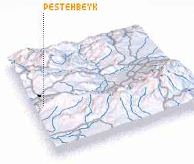 Places with similar names to Pesteh Beyk, Iran :: Disclaimer :: Information on this page comes without warranty of any kind |
||
|
Where is Pesteh Beyk? Elevation and coordinates ::
Latitude (lat): 38°30'47"N Longitude (lon): 47°4'58"E
Elevation (approx.): 1441m (map arrows pan, magnifying glasses zoom) |
||
|
Visiting Pesteh Beyk? Hotel/Accommodation ::
Book a hotel in Pesteh Beyk Travel Guide ::
Buy a travel guide for Iran rental cars ::
car rental offers GPS waypoint ::
download a GPX waypoint (PoI) of Pesteh Beyk for your GPS receiver
|
||