|
search place name
|
||
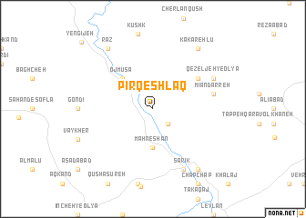
Pīr Qeshlāq (Iran)Pīr Qeshlāq is a town in Iran. An overview map of the region around Pīr Qeshlāq is displayed below.
regional and 3d topo map of Pīr Qeshlāq, Iran ::
Pīr Qeshlāq airports ::
The nearest airport is SDG - Sanandaj, located 180.6 km south of Pīr Qeshlāq.
Other airports nearby include RAS - Rasht (182.7 km east), TBZ - Tabriz Intl (196.2 km north west), Nearby towns ::
Chohreh Tappeh (2.4km south east) //
Māh Neshān (4.7km south) //
‘Ūj Mūsá (4.7km north west) //
Sārī Āghol (4.7km north west) //
Dūshān Tappeh (5.8km north east) //
Chapow (5.8km north east) //
Mīān Darreh (6.2km east) //
Darreh Qūsh Bolāgh (6.2km east) //
Sarīk (8.0km south) //
Qezeljeh-ye ‘Olyā (7.0km north east) //
Mīrākhor (8.6km south east) //
Kakarehlū (8.6km north east) //
Seyyed Lar (8.6km north west) //
Raz (8.6km north west) //
YengīJeh (10.8km north west) //
[all distances 'as the bird flies' and approximate] 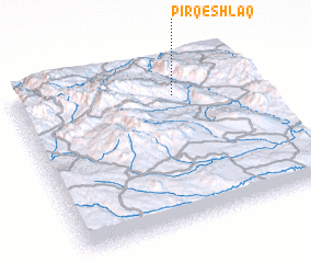 Places with similar names to Pīr Qeshlāq, Iran ::
// Pārā Qeshlāq (IR)
Disclaimer :: Information on this page comes without warranty of any kind |
||
|
Where is Pīr Qeshlāq? Elevation and coordinates ::
Latitude (lat): 36°47'0"N Longitude (lon): 47°40'0"E
Elevation (approx.): 1272m (map arrows pan, magnifying glasses zoom) |
||
|
Visiting Pīr Qeshlāq? Hotel/Accommodation ::
Book a hotel in Pīr Qeshlāq Travel Guide ::
Buy a travel guide for Iran rental cars ::
car rental offers GPS waypoint ::
download a GPX waypoint (PoI) of Pīr Qeshlāq for your GPS receiver
|
||