|
search place name
|
||
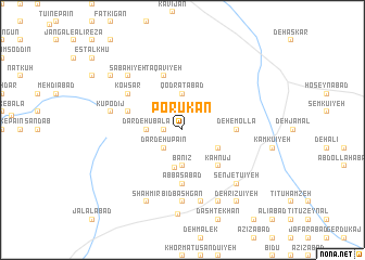
Porūkān (Iran)Porūkān is a town in Iran. An overview map of the region around Porūkān is displayed below.
regional and 3d topo map of Porūkān, Iran ::
Porūkān airports ::
The nearest airport is AZD - Yazd Shahid Sadooghi, located 171.0 km west of Porūkān.
Other airports nearby include KER - Kerman (179.2 km south east), Nearby towns ::
Seyyedābād (1.6km west) //
Babrū'īyeh (1.6km west) //
Dar Dehū Pāʼīn (2.4km south west) //
Banīz (3.7km south) //
Qodratābād (3.7km north) //
Banestān (3.7km north) //
Dar Dehū Bālā (3.2km west) //
Benīz (3.9km south) //
Dehū-ye Seyyed Mīr Ebrāhīm (3.7km south east) //
Kahnūj (4.9km south east) //
Beheshtābād (4.9km south east) //
Alangū'īyeh (4.9km south east) //
‘Abbāsābād (5.6km south) //
Deh-e Mollā (4.7km east) //
Deh Hert (5.1km west) //
Taqavīyeh (5.8km north) //
Āshtark (5.8km north) //
Ḩoseynābād (5.8km north) //
Ḩoseynābād (6.0km north west) //
Fūdīj (6.0km north west) //
Khormotk (6.0km north west) //
Kows̄ar (6.0km north west) //
Bīd Bashgān (7.4km south) //
Banzeshkūn (7.6km south) //
Kūpodīj (6.6km west) //
Şabāḩīyeh (7.3km north west) //
Senjetū'īyeh (7.3km south east) //
Loţfābād (8.1km south east) //
Shāhmīr (8.1km south west) //
[all distances 'as the bird flies' and approximate] 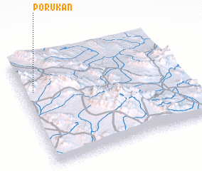 Places with similar names to Porūkān, Iran ::
Disclaimer :: Information on this page comes without warranty of any kind |
||
|
Where is Porūkān? Elevation and coordinates ::
Latitude (lat): 31°42'0"N Longitude (lon): 56°4'0"E
Elevation (approx.): 2182m (map arrows pan, magnifying glasses zoom) |
||
|
Visiting Porūkān? Hotel/Accommodation ::
Book a hotel in Porūkān Travel Guide ::
Buy a travel guide for Iran rental cars ::
car rental offers GPS waypoint ::
download a GPX waypoint (PoI) of Porūkān for your GPS receiver
|
||