|
search place name
|
||
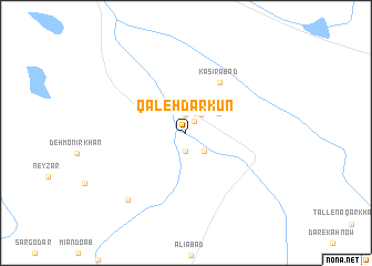
Qal‘eh Darkun (Iran)Qal‘eh Darkun is a town in Iran. An overview map of the region around Qal‘eh Darkun is displayed below.
regional and 3d topo map of Qal‘eh Darkun, Iran ::
Qal‘eh Darkun airports ::
The nearest airport is KER - Kerman, located 64.2 km north of Qal‘eh Darkun.
Nearby towns ::
Deh Tāzīān (1.4km north east) //
Bāb-e Kūshk (1.9km south) //
Sar Bālā (1.9km north) //
Dowlatābād (2.2km north east) //
Tāl-e Marān (2.5km south east) //
‘Abbāsābād (2.5km south east) //
Jalālābād (2.8km north) //
Vaḩdatābād (3.5km north east) //
‘Alīābād (4.0km north west) //
Kas̄īrābād (5.9km north east) //
Eşfahānū'īyeh-ye Ākhūnd (8.4km south west) //
[all distances 'as the bird flies' and approximate] 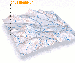 Places with similar names to Qal‘eh Darkun, Iran ::
// Coldragone (IT)
Disclaimer :: Information on this page comes without warranty of any kind |
||
|
Where is Qal‘eh Darkun? Elevation and coordinates ::
Latitude (lat): 29°42'0"N Longitude (lon): 57°2'0"E
Elevation (approx.): 2328m (map arrows pan, magnifying glasses zoom) |
||
|
Visiting Qal‘eh Darkun? Hotel/Accommodation ::
Book a hotel in Qal‘eh Darkun Travel Guide ::
Buy a travel guide for Iran rental cars ::
car rental offers GPS waypoint ::
download a GPX waypoint (PoI) of Qal‘eh Darkun for your GPS receiver
|
||