|
search place name
|
||
Qal‘eh Safīd (Iran)Qal‘eh Safīd is a town in Iran. An overview map of the region around Qal‘eh Safīd is displayed below.
regional and 3d topo map of Qal‘eh Safīd, Iran ::
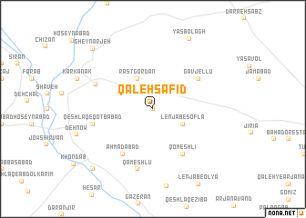
Nearby towns ::
Rāzgardan (0.0km north) //
Qelīch Tappeh (4.0km north) //
Lenjāb-e Soflá (3.6km south east) //
Rāstgordān (4.0km north) //
Gāvjellū (5.9km north east) //
Qomeshlī (6.3km south east) //
Ganjgolī (6.3km south east) //
Aḩmadābād (6.3km south west) //
Qeshlāq-e Qoţbābād (6.4km west) //
Qameshlū (7.6km south) //
Dīzābād (6.6km north west) //
Yāsbolāgh (9.4km north east) //
Gheynarjeh (9.6km north west) //
Qal‘eh-ye Khondāb (9.6km south west) //
[all distances 'as the bird flies' and approximate] 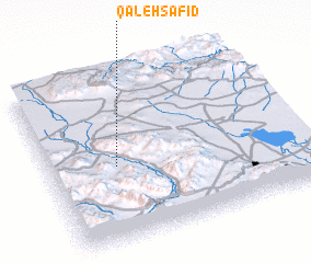 Places with similar names to Qal‘eh Safīd, Iran ::
// Külsővat (HU)
// Glazovata (RU)
// Gol Sefīd (IR)
// Kal-e Sefīd (IR)
// Kal-e Sefīd (IR)
// Kal Sefīd (IR)
// Kīleh Sefīd (IR)
// Qal'eh Sefīd (IR)
// Qila Safed (PK)
// Qal‘eh Sefīd (IR)
Disclaimer :: Information on this page comes without warranty of any kind |
||
|
Where is Qal‘eh Safīd? Elevation and coordinates ::
Latitude (lat): 34°27'0"N Longitude (lon): 49°16'0"E
Elevation (approx.): 1950m (map arrows pan, magnifying glasses zoom) |
||
|
Visiting Qal‘eh Safīd? Hotel/Accommodation ::
Book a hotel in Qal‘eh Safīd Travel Guide ::
Buy a travel guide for Iran rental cars ::
car rental offers GPS waypoint ::
download a GPX waypoint (PoI) of Qal‘eh Safīd for your GPS receiver
|
||