|
search place name
|
||
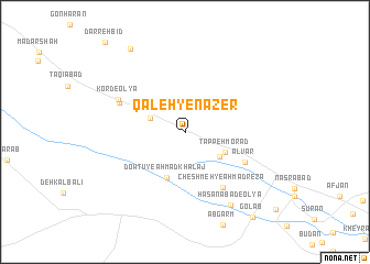
Qal‘eh-ye Nāz̧er (Eşfahān, Iran)Qal‘eh-ye Nāz̧er is a town in the Eşfahān region of Iran. An overview map of the region around Qal‘eh-ye Nāz̧er is displayed below.
regional and 3d topo map of Qal‘eh-ye Nāz̧er, Iran ::
Qal‘eh-ye Nāz̧er airports ::
The nearest airport is QMJ - Masjed Soleiman Shahid Asyaee, located 175.3 km south west of Qal‘eh-ye Nāz̧er.
Nearby towns ::
Kord-e Soflá (3.3km north west) //
‘Asgarān (3.9km south east) //
Tappeh Morād (4.0km south east) //
Dowtūy-e Aḩmad Khalaj (4.9km south) //
Alvar (6.0km south east) //
Cheshmeh-ye Aḩmad Reẕā (6.5km south east) //
Dowlatābād (6.4km north west) //
Kord-e ‘Olyā (6.5km north west) //
Ḩasanābād-e ‘Olyā (8.4km south east) //
Darreh-ye Bīd (9.6km north west) //
Golāb (10.4km south east) //
[all distances 'as the bird flies' and approximate] 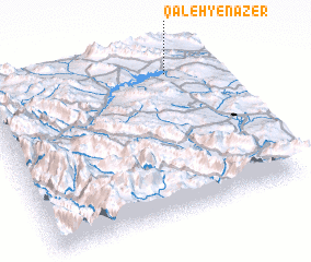 Places with similar names to Qal‘eh-ye Nāz̧er, Iran ::
// Kalyansri (BD)
Disclaimer :: Information on this page comes without warranty of any kind |
||
|
Where is Qal‘eh-ye Nāz̧er? Elevation and coordinates ::
Latitude (lat): 32°53'6"N Longitude (lon): 50°49'2"E
Elevation (approx.): 2179m (map arrows pan, magnifying glasses zoom) |
||
|
Visiting Qal‘eh-ye Nāz̧er? Hotel/Accommodation ::
Book a hotel in Qal‘eh-ye Nāz̧er Travel Guide ::
Buy a travel guide for Iran rental cars ::
car rental offers GPS waypoint ::
download a GPX waypoint (PoI) of Qal‘eh-ye Nāz̧er for your GPS receiver
|
||