|
search place name
|
||
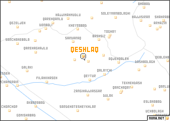
Qeshlāq (Iran)Qeshlāq is a town in Iran. An overview map of the region around Qeshlāq is displayed below.
regional and 3d topo map of Qeshlāq, Iran ::
Qeshlāq airports ::
The nearest airport is RAS - Rasht, located 135.6 km east of Qeshlāq.
Other airports nearby include TBZ - Tabriz Intl (199.6 km north west), SDG - Sanandaj (229.6 km south west), Nearby towns ::
Ḩammāmlū-ye ‘Olyā (0.7km east) //
Ḩammāmlū-ye Soflá (1.8km west) //
Chūmālū (3.5km east) //
Qeyţūr (4.4km south) //
Sardaraq (4.6km north west) //
Qalāychī (4.7km south east) //
Bāshsīz (5.2km north east) //
Kheyrābād (7.0km north) //
Bīrūndeh (6.7km north east) //
Āqjeh Qal‘eh (6.0km east) //
Zangī Ḩājjī ‘Asgar (7.7km south) //
Toghāy (7.1km north east) //
Fīlah Khāşeh (8.2km south west) //
Dūlak (9.6km south east) //
Qamchaqāy (9.4km south east) //
Qārqā Qūlūn (9.5km south east) //
Qareh Qānlū (10.0km north west) //
Donbolī (9.8km north west) //
[all distances 'as the bird flies' and approximate] 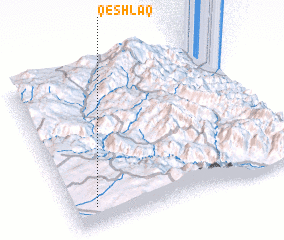 Places with similar names to Qeshlāq, Iran ::
// Cache Lake (US)
// Cache Lake (US)
// Kisiołki (PL)
// Kachulka (BG)
// Kashleyka (RU)
// Kocheleyka (RU)
// Kuchulga (RU)
// Kushelga (RU)
// Kushlega (RU)
// Qashlāq (IQ)
Disclaimer :: Information on this page comes without warranty of any kind |
||
|
Where is Qeshlāq? Elevation and coordinates ::
Latitude (lat): 37°7'0"N Longitude (lon): 48°6'0"E
Elevation (approx.): 1607m (map arrows pan, magnifying glasses zoom) |
||
|
Visiting Qeshlāq? Hotel/Accommodation ::
Book a hotel in Qeshlāq Travel Guide ::
Buy a travel guide for Iran rental cars ::
car rental offers GPS waypoint ::
download a GPX waypoint (PoI) of Qeshlāq for your GPS receiver
|
||