|
search place name
|
||
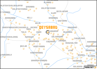
Qeysābād (Khorāsān, Iran)Qeysābād is a town in the Khorāsān region of Iran. An overview map of the region around Qeysābād is displayed below.
regional and 3d topo map of Qeysābād, Iran ::
Qeysābād airports ::
The nearest airport is ASB - Ashkhabad Ashgabat, located 159.4 km north west of Qeysābād.
Nearby towns ::
Qeysābād (0.0km south east) //
Rakhkan (0.9km north east) //
Bahrābād (1.4km east) //
Āhangar (1.7km south west) //
Feyzābād (1.9km north) //
Jūkāl (1.9km south) //
Chādareh (1.5km east) //
Jūkāl (1.9km south) //
Chādareh (1.6km east) //
Būrt Chūpān (1.9km south west) //
Gonbad Ẕīā' (1.9km south west) //
Samandar (2.4km south west) //
Samandar (2.4km south west) //
Kombolān (2.4km south west) //
Shekarāb (2.4km south east) //
Shekarāb (2.8km south east) //
Qolqūchān (2.8km south east) //
Cheshmeh Māhī (3.0km north west) //
Nowrūzābād (2.9km east) //
Khāmī (2.9km west) //
Chenārān (3.7km south) //
Khāmī (3.0km west) //
Gol Khandān (3.3km south east) //
Gorū (3.3km south west) //
Chambar Gharbāl (3.3km south east) //
Khūshāneh (3.4km north west) //
Qom (3.5km north west) //
Şafīābād (3.5km north east) //
Kabīr (3.5km south east) //
[all distances 'as the bird flies' and approximate] 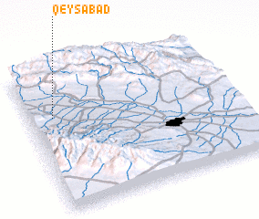 Places with similar names to Qeysābād, Iran ::
Disclaimer :: Information on this page comes without warranty of any kind |
||
|
Where is Qeysābād? Elevation and coordinates ::
Latitude (lat): 36°41'1"N Longitude (lon): 59°6'59"E
Elevation (approx.): 1139m (map arrows pan, magnifying glasses zoom) |
||
|
Visiting Qeysābād? Hotel/Accommodation ::
Book a hotel in Qeysābād Travel Guide ::
Buy a travel guide for Iran rental cars ::
car rental offers GPS waypoint ::
download a GPX waypoint (PoI) of Qeysābād for your GPS receiver
|
||