|
search place name
|
||
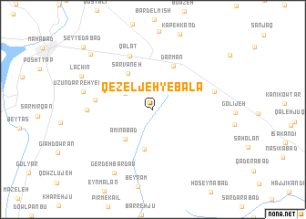
Qezeljeh-ye Bālā (Ostān-e Āz̄arbāyjān-e Gharbī, Iran)Qezeljeh-ye Bālā is a town in the Ostān-e Āz̄arbāyjān-e Gharbī region of Iran. An overview map of the region around Qezeljeh-ye Bālā is displayed below.
regional and 3d topo map of Qezeljeh-ye Bālā, Iran ::
Qezeljeh-ye Bālā airports ::
The nearest airport is TBZ - Tabriz Intl, located 163.2 km north of Qezeljeh-ye Bālā.
Other airports nearby include SDG - Sanandaj (192.3 km south east), Nearby towns ::
Shīlānābād (3.4km north west) //
Qezeljeh-ye Pā'īn (4.9km south) //
Amīnābād (4.6km south west) //
Sarvaneh (5.1km north west) //
Darmān (5.6km north) //
Qalāt (6.9km north) //
Kohneh Deh (5.8km west) //
Qamţareh (6.4km east) //
Ūzūn Darreh-ye Bālā (6.5km west) //
Ūzūn Darreh-ye Pāʼīn (7.2km west) //
Gerdeh Bardān (8.6km south west) //
Lāchīn (8.1km north west) //
Pīr Balen (9.2km north west) //
Seyyedābād (10.3km north west) //
[all distances 'as the bird flies' and approximate] 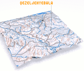 Places with similar names to Qezeljeh-ye Bālā, Iran :: Disclaimer :: Information on this page comes without warranty of any kind |
||
|
Where is Qezeljeh-ye Bālā? Elevation and coordinates ::
Latitude (lat): 36°41'50"N Longitude (lon): 45°50'37"E
Elevation (approx.): 1911m (map arrows pan, magnifying glasses zoom) |
||
|
Visiting Qezeljeh-ye Bālā? Hotel/Accommodation ::
Book a hotel in Qezeljeh-ye Bālā Travel Guide ::
Buy a travel guide for Iran rental cars ::
car rental offers GPS waypoint ::
download a GPX waypoint (PoI) of Qezeljeh-ye Bālā for your GPS receiver
|
||