|
search place name
|
||
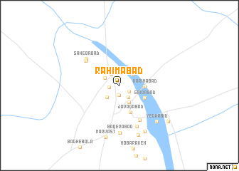
Raḩīmābād (Yazd, Iran)Raḩīmābād is a town in the Yazd region of Iran. An overview map of the region around Raḩīmābād is displayed below.
regional and 3d topo map of Raḩīmābād, Iran ::
Raḩīmābād airports ::
The nearest airport is AZD - Yazd Shahid Sadooghi, located 150.2 km north of Raḩīmābād.
Other airports nearby include SYZ - Shiraz Shahid Dastghaib Intl (194.0 km south west), Nearby towns ::
Āz̄armakān (1.5km south) //
Deh Now (1.5km west) //
‘Abbāsābād (1.6km south east) //
‘Alā' od Dīn (2.2km north west) //
Golābād (2.2km south east) //
Golestānak (2.3km north west) //
‘Eshratābād (2.5km south west) //
Balū (2.5km north east) //
Raḩmatābād (2.9km south east) //
Karīmābād (3.4km east) //
Sa‘īdābād (3.9km south east) //
Javādābād (4.4km south) //
Seyyedābād (6.1km south east) //
Mazra‘eh-ye Şāḩeb (6.0km north west) //
Şāḩebābād (6.1km north west) //
Hamedān (6.8km south) //
Bāqerābād (7.5km south) //
Yedhābid (7.6km south east) //
Pūhbīd (8.0km south east) //
Qāsemābād (8.1km south) //
Marvast (8.3km south) //
Pīdhā-ye Bīd (8.7km south east) //
[all distances 'as the bird flies' and approximate] 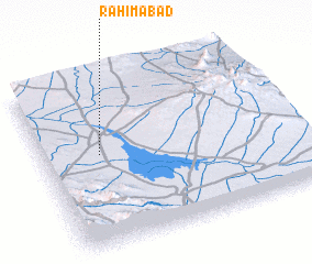 Places with similar names to Raḩīmābād, Iran ::
Disclaimer :: Information on this page comes without warranty of any kind |
||
|
Where is Raḩīmābād? Elevation and coordinates ::
Latitude (lat): 30°33'4"N Longitude (lon): 54°13'52"E
Elevation (approx.): 1517m (map arrows pan, magnifying glasses zoom) |
||
|
Visiting Raḩīmābād? Hotel/Accommodation ::
Book a hotel in Raḩīmābād Travel Guide ::
Buy a travel guide for Iran rental cars ::
car rental offers GPS waypoint ::
download a GPX waypoint (PoI) of Raḩīmābād for your GPS receiver
|
||