|
search place name
|
||
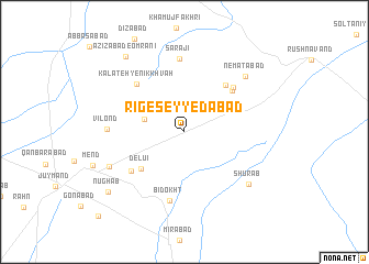
Rīg-e Seyyedābād (Khorāsān, Iran)Rīg-e Seyyedābād is a town in the Khorāsān region of Iran. An overview map of the region around Rīg-e Seyyedābād is displayed below.
regional and 3d topo map of Rīg-e Seyyedābād, Iran ::
Rīg-e Seyyedābād airports ::
The nearest airport is XBJ - Birjand, located 172.9 km south of Rīg-e Seyyedābād.
Nearby towns ::
Qūzhd (3.6km west) //
Delūī (5.2km south west) //
Ḩājjīābād (5.9km north east) //
Moqīmābād (5.8km north east) //
Nowkar (6.1km north east) //
Now Deh-e Gonābād (6.0km south west) //
Kalāteh-ye Nīk Khvāh (6.3km north west) //
Bīdokht (7.1km south) //
Sarājī (7.4km north) //
Vīlond (6.5km west) //
Ne‘matābād (7.6km north east) //
Kheybarī (7.2km south west) //
Shūr Āb (7.6km south east) //
‘Azīzābād-e ‘Omrānī (9.0km north west) //
Nūghāb (8.8km south west) //
Bahāābād (11.2km south west) //
[all distances 'as the bird flies' and approximate] 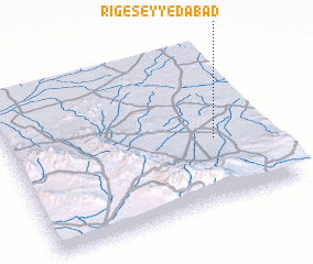 Places with similar names to Rīg-e Seyyedābād, Iran :: Disclaimer :: Information on this page comes without warranty of any kind |
||
|
Where is Rīg-e Seyyedābād? Elevation and coordinates ::
Latitude (lat): 34°24'23"N Longitude (lon): 58°47'45"E
Elevation (approx.): 1027m (map arrows pan, magnifying glasses zoom) |
||
|
Visiting Rīg-e Seyyedābād? Hotel/Accommodation ::
Book a hotel in Rīg-e Seyyedābād Travel Guide ::
Buy a travel guide for Iran rental cars ::
car rental offers GPS waypoint ::
download a GPX waypoint (PoI) of Rīg-e Seyyedābād for your GPS receiver
|
||