|
search place name
|
||
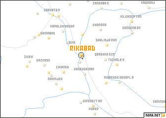
Rīkābād (Ostān-e Āz̄arbāyjān-e Gharbī, Iran)Rīkābād is a town in the Ostān-e Āz̄arbāyjān-e Gharbī region of Iran. An overview map of the region around Rīkābād is displayed below.
regional and 3d topo map of Rīkābād, Iran ::
Rīkābād airports ::
The nearest airport is TBZ - Tabriz Intl, located 187.6 km north east of Rīkābād.
Other airports nearby include SDG - Sanandaj (223.4 km south east), VAN - Van (262.7 km north west), Nearby towns ::
Soghānlū (0.9km south west) //
Kāsehgarān (3.5km south) //
Lāvīn (3.3km north west) //
Qareh Kheẕr (4.1km east) //
Chīāneh (4.6km south west) //
Barkamarān (5.5km north) //
Shalīmjārān (5.4km north east) //
Gonah Dār (6.9km south east) //
Kharāpā (7.4km north east) //
Kapaleh Ḩasan (7.3km north west) //
Tūzhāleh (6.3km east) //
Qal‘eh Tarāsh (6.9km south west) //
Namīnjeh (7.5km south west) //
Vīlzeh (6.9km south west) //
Bādīnābād (7.8km south west) //
Gazkask (7.2km west) //
Shīnābād (7.8km north west) //
Mīsheh Deh-e Soflá (8.5km south east) //
[all distances 'as the bird flies' and approximate] 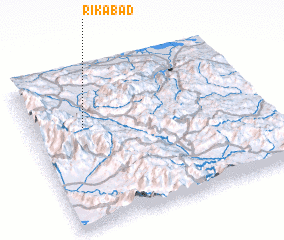 Places with similar names to Rīkābād, Iran ::
Disclaimer :: Information on this page comes without warranty of any kind |
||
|
Where is Rīkābād? Elevation and coordinates ::
Latitude (lat): 36°38'45"N Longitude (lon): 45°13'45"E
Elevation (approx.): 1401m (map arrows pan, magnifying glasses zoom) |
||
|
Visiting Rīkābād? Hotel/Accommodation ::
Book a hotel in Rīkābād Travel Guide ::
Buy a travel guide for Iran rental cars ::
car rental offers GPS waypoint ::
download a GPX waypoint (PoI) of Rīkābād for your GPS receiver
|
||