|
search place name
|
||
Samangān (Khorāsān, Iran)Samangān is a town in the Khorāsān region of Iran. An overview map of the region around Samangān is displayed below.
regional and 3d topo map of Samangān, Iran ::

Samangān airports ::
The nearest airport is ASB - Ashkhabad Ashgabat, located 132.2 km north of Samangān.
Nearby towns ::
Kalāteh-ye Aḩmad (2.0km east) //
Kalāteh-ye Mollā Moḩammad Qoli (2.0km east) //
Kalāteh-ye Feshāy (3.6km south) //
Ḩasanābād (3.6km south west) //
Chakaneh Pā'īin (3.9km west) //
Kalāteh-ye Malū (4.9km north) //
Chakaneh-ye Soflá (4.8km north west) //
Chāh Āb (5.2km south east) //
Chāh Āb (5.8km south east) //
‘Arāqī (5.8km south east) //
Amīnābād (6.8km south west) //
Motor Āb-e Golshanābād (5.9km east) //
Pas Ḩeşār (7.4km south east) //
Besh Āghāj (9.1km north) //
Chakaneh-ye ‘Olyā (7.8km north west) //
Garmjān (8.4km north east) //
[all distances 'as the bird flies' and approximate] 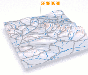 Places with similar names to Samangān, Iran ::
// Samungon (MM)
// Simānagāon (IN)
// Sembianggin (ID)
// Samangān (IR)
// Samangān (IR)
// Zamīn Kān (IR)
// Sam Ngaien (GM)
// Sambang-ni (KP)
// Sambong-ni (KP)
// Sambong-ni (KP)
Disclaimer :: Information on this page comes without warranty of any kind |
||
|
Where is Samangān? Elevation and coordinates ::
Latitude (lat): 36°48'18"N Longitude (lon): 58°33'0"E
Elevation (approx.): 1533m (map arrows pan, magnifying glasses zoom) |
||
|
Visiting Samangān? Hotel/Accommodation ::
Book a hotel in Samangān Travel Guide ::
Buy a travel guide for Iran rental cars ::
car rental offers GPS waypoint ::
download a GPX waypoint (PoI) of Samangān for your GPS receiver
|
||