|
search place name
|
||
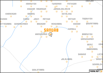
Sandāb (Yazd, Iran)Sandāb is a town in the Yazd region of Iran. An overview map of the region around Sandāb is displayed below.
regional and 3d topo map of Sandāb, Iran ::
Sandāb airports ::
The nearest airport is AZD - Yazd Shahid Sadooghi, located 158.5 km west of Sandāb.
Other airports nearby include KER - Kerman (185.6 km south east), Nearby towns ::
Shūr Āb (1.6km west) //
Deh-e Mīrzā Aḩmad (1.9km north) //
Gazestān (2.8km north west) //
Hamsūk (3.7km north) //
Harīsk-e Pā'īn (3.2km west) //
Marzīn (3.7km north) //
Harīsk-e Bālā (3.7km north west) //
Mehdīābād (4.0km north east) //
Bāgh Dar (4.9km north west) //
Natkūh (5.8km north) //
Kūpodīj (6.6km east) //
Ḩasanābād (7.3km north east) //
Darb-e Dehū (7.3km north east) //
Darreh Dohū (7.3km north east) //
Jowzī (7.3km north west) //
Deh-e Shams od Dīn (8.1km north west) //
Zerāshk (8.1km north east) //
Darb-e Khafkū (8.1km north east) //
Dārestān (8.4km north west) //
Estalkhū (8.8km north east) //
Homījān (8.8km north east) //
Patkūn (8.4km north east) //
Deh Khān (8.4km north east) //
Behdān (8.4km north east) //
Hormīzān (9.7km north west) //
Āb Sang (9.7km north west) //
[all distances 'as the bird flies' and approximate] 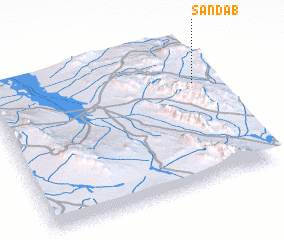 Places with similar names to Sandāb, Iran ::
Disclaimer :: Information on this page comes without warranty of any kind |
||
|
Where is Sandāb? Elevation and coordinates ::
Latitude (lat): 31°42'0"N Longitude (lon): 55°56'0"E
Elevation (approx.): 2229m (map arrows pan, magnifying glasses zoom) |
||
|
Visiting Sandāb? Hotel/Accommodation ::
Book a hotel in Sandāb Travel Guide ::
Buy a travel guide for Iran rental cars ::
car rental offers GPS waypoint ::
download a GPX waypoint (PoI) of Sandāb for your GPS receiver
|
||