|
search place name
|
||
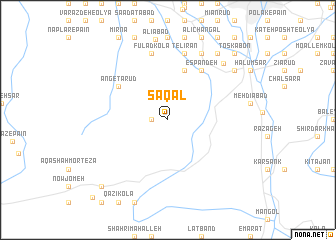
Saqal (Iran)Saqal is a town in Iran. An overview map of the region around Saqal is displayed below.
regional and 3d topo map of Saqal, Iran ::
Saqal airports ::
The nearest airport is THR - Teheran Mehrabad Intl, located 113.0 km south west of Saqal.
Other airports nearby include RZR - Ramsar (155.0 km north west), Nearby towns ::
Sang Darkā (1.5km west) //
Seḩrī (5.8km north) //
Dāsh Talārasmī (5.8km north) //
Espandeh (6.3km north east) //
Angetā Rūd (5.8km north west) //
Telīrān (7.6km north) //
Anbārdeh (7.6km north) //
Fūlād Kolā (7.6km north) //
Khoshk Rūd (8.0km north) //
Kāsemdeh (8.0km north) //
Eskū Maḩalleh (8.1km north east) //
Nowgardan (8.2km north east) //
Chandar Maḩalleh (8.7km north east) //
Mazrūn Kolā (9.5km north east) //
Tankābon (9.5km north east) //
Toskābon (9.5km north east) //
Mūrān Kolā (9.5km north east) //
Tūrān Kolā (9.5km south west) //
Kaznā Sarā (11.0km south west) //
[all distances 'as the bird flies' and approximate] 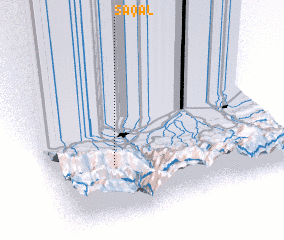 Places with similar names to Saqal, Iran ::
Disclaimer :: Information on this page comes without warranty of any kind |
||
|
Where is Saqal? Elevation and coordinates ::
Latitude (lat): 36°21'0"N Longitude (lon): 52°16'0"E
Elevation (approx.): 566m (map arrows pan, magnifying glasses zoom) |
||
|
Visiting Saqal? Hotel/Accommodation ::
Book a hotel in Saqal Travel Guide ::
Buy a travel guide for Iran rental cars ::
car rental offers GPS waypoint ::
download a GPX waypoint (PoI) of Saqal for your GPS receiver
|
||