|
search place name
|
||
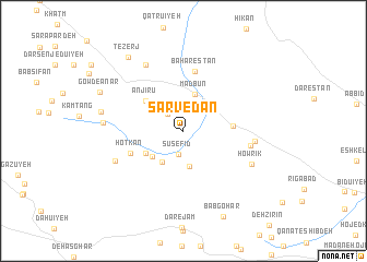
Sarvedān (Kermān, Iran)Sarvedān is a town in the Kermān region of Iran. An overview map of the region around Sarvedān is displayed below.
regional and 3d topo map of Sarvedān, Iran ::
Sarvedān airports ::
The nearest airport is KER - Kerman, located 67.2 km south of Sarvedān.
Nearby towns ::
Deh Mīlān (2.2km north west) //
Sūsefīd (2.4km south) //
Amredū'īyeh (3.6km south) //
Deh Qāzī (3.6km south west) //
Madbūn (3.9km north) //
Sekūkān (3.7km south west) //
Sar Bāgh (4.0km south west) //
Anjīrū (4.5km north west) //
Anjīr Dar (4.5km north west) //
Hīkūn Pā'īn (4.4km east) //
Ḩotkan (5.1km south west) //
Bahārestān (6.1km north) //
Sīlābkhvor-e Bālā (6.1km east) //
Sīlābkhvor-e Pā'īn (6.3km east) //
Darāb (6.8km south west) //
Howrīk (6.9km south east) //
Chenārūʼīyeh-ye Khānūk (7.6km north west) //
Bāb Gohar (7.1km west) //
Darreh Gor (7.5km west) //
Gowd-e Anār (8.3km north west) //
Tezerj (9.0km north west) //
Bābgohar (9.4km south) //
[all distances 'as the bird flies' and approximate] 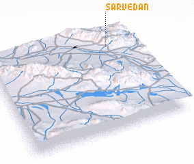 Places with similar names to Sarvedān, Iran ::
// Cervidone (IT)
Disclaimer :: Information on this page comes without warranty of any kind |
||
|
Where is Sarvedān? Elevation and coordinates ::
Latitude (lat): 30°52'20"N Longitude (lon): 56°50'5"E
Elevation (approx.): 2170m (map arrows pan, magnifying glasses zoom) |
||
|
Visiting Sarvedān? Hotel/Accommodation ::
Book a hotel in Sarvedān Travel Guide ::
Buy a travel guide for Iran rental cars ::
car rental offers GPS waypoint ::
download a GPX waypoint (PoI) of Sarvedān for your GPS receiver
|
||