|
search place name
|
||
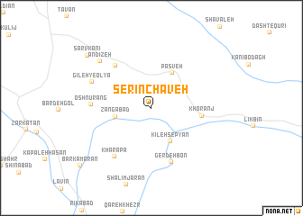
Serīn Chāveh (Ostān-e Āz̄arbāyjān-e Gharbī, Iran)Serīn Chāveh is a town in the Ostān-e Āz̄arbāyjān-e Gharbī region of Iran. An overview map of the region around Serīn Chāveh is displayed below.
regional and 3d topo map of Serīn Chāveh, Iran ::
Serīn Chāveh airports ::
The nearest airport is TBZ - Tabriz Intl, located 173.2 km north east of Serīn Chāveh.
Other airports nearby include SDG - Sanandaj (227.6 km south east), VAN - Van (257.5 km north west), Nearby towns ::
Zangābād (3.7km west) //
Kīleh Sepyān (4.6km south east) //
Pasveh (4.8km north east) //
Gerd Taspīān (4.4km north west) //
Khoranj (5.1km east) //
Gerdak Shāneh (6.3km north west) //
Gerdeh Bon (7.0km south) //
Oshnūrang (6.1km west) //
Kharāpā (7.1km south west) //
Gīleh-ye ‘Olyā (6.8km north west) //
Andīzeh (7.7km north west) //
Sarv Kānī (9.1km north west) //
Barkamarān (10.0km south west) //
[all distances 'as the bird flies' and approximate] 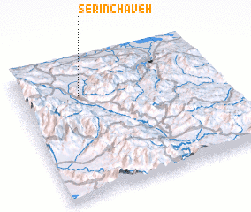
Disclaimer :: Information on this page comes without warranty of any kind |
||
|
Where is Serīn Chāveh? Elevation and coordinates ::
Latitude (lat): 36°45'36"N Longitude (lon): 45°18'24"E
Elevation (approx.): 1439m (map arrows pan, magnifying glasses zoom) |
||
|
Visiting Serīn Chāveh? Hotel/Accommodation ::
Book a hotel in Serīn Chāveh Travel Guide ::
Buy a travel guide for Iran rental cars ::
car rental offers GPS waypoint ::
download a GPX waypoint (PoI) of Serīn Chāveh for your GPS receiver
|
||