|
search place name
|
||
Seyyedābād-e Bār Ma‘dan (Khorāsān, Iran)Seyyedābād-e Bār Ma‘dan is a town in the Khorāsān region of Iran. An overview map of the region around Seyyedābād-e Bār Ma‘dan is displayed below.
regional and 3d topo map of Seyyedābād-e Bār Ma‘dan, Iran ::

Seyyedābād-e Bār Ma‘dan airports ::
The nearest airport is ASB - Ashkhabad Ashgabat, located 162.7 km north of Seyyedābād-e Bār Ma‘dan.
Nearby towns ::
Andar Āb (2.9km south east) //
Mehrābād (3.3km north) //
Kalāteh-ye Moḩammad Jān (4.0km north east) //
Tellī (5.1km north east) //
Kalāteh-ye ‘Alī Morād (5.2km north east) //
Zarandeh (6.0km south) //
Karrān (5.4km east) //
Sar Chāh (5.9km north west) //
Kārjī (6.3km north east) //
Kalāteh Shāhī (7.3km north) //
Tījān (6.9km north east) //
Karān (6.2km east) //
Mārūsk (6.5km east) //
Farsīyeh (6.4km east) //
Ḩeydarābād (7.5km north east) //
Bār-e Ma‘dan-e Bālā (7.6km south west) //
Bār Ma‘dan Soflá (8.1km south west) //
Shotor Sang (9.3km north west) //
Takhteh Mīshk (9.3km north west) //
Kalāteh-ye Ḩājjī (10.5km north west) //
[all distances 'as the bird flies' and approximate] 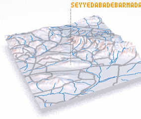 Places with similar names to Seyyedābād-e Bār Ma‘dan, Iran :: Disclaimer :: Information on this page comes without warranty of any kind |
||
|
Where is Seyyedābād-e Bār Ma‘dan? Elevation and coordinates ::
Latitude (lat): 36°31'26"N Longitude (lon): 58°28'26"E
Elevation (approx.): 1483m (map arrows pan, magnifying glasses zoom) |
||
|
Visiting Seyyedābād-e Bār Ma‘dan? Hotel/Accommodation ::
Book a hotel in Seyyedābād-e Bār Ma‘dan Travel Guide ::
Buy a travel guide for Iran rental cars ::
car rental offers GPS waypoint ::
download a GPX waypoint (PoI) of Seyyedābād-e Bār Ma‘dan for your GPS receiver
|
||