|
search place name
|
||
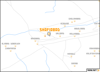
Shafī‘ābād (Khorāsān, Iran)Shafī‘ābād is a town in the Khorāsān region of Iran. An overview map of the region around Shafī‘ābād is displayed below.
regional and 3d topo map of Shafī‘ābād, Iran ::
Shafī‘ābād airports ::
The nearest airport is ASB - Ashkhabad Ashgabat, located 211.2 km north east of Shafī‘ābād.
Nearby towns ::
Borj-e Āqā (1.5km west) //
Şādeqābād (1.6km west) //
Dalqand (3.0km east) //
Īstgāh-e Jājarm (4.8km south west) //
Amīrābād (4.8km south west) //
Āzād Vār (5.8km north east) //
Raḩmatābād (8.4km north east) //
Mīr Ḩājj (9.9km south east) //
[all distances 'as the bird flies' and approximate] 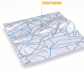 Places with similar names to Shafī‘ābād, Iran ::
// Chavīb Deh (IR)
// Chefe Abudo (MZ)
// Chefe Abudo (MZ)
// Chefe Bediua (MZ)
// Chefe Buédi (MZ)
// Shafī‘ābād (IR)
// Shafī‘ābād (IR)
// Shafī‘ābād (IR)
// Shafī‘ābād (IR)
// Shafī‘ābād (IR)
Disclaimer :: Information on this page comes without warranty of any kind |
||
|
Where is Shafī‘ābād? Elevation and coordinates ::
Latitude (lat): 36°44'0"N Longitude (lon): 56°34'0"E
Elevation (approx.): 914m (map arrows pan, magnifying glasses zoom) |
||
|
Visiting Shafī‘ābād? Hotel/Accommodation ::
Book a hotel in Shafī‘ābād Travel Guide ::
Buy a travel guide for Iran rental cars ::
car rental offers GPS waypoint ::
download a GPX waypoint (PoI) of Shafī‘ābād for your GPS receiver
|
||