|
search place name
|
||
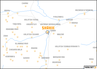
Shāhīk (Khorāsān, Iran)Shāhīk is a town in the Khorāsān region of Iran. An overview map of the region around Shāhīk is displayed below.
regional and 3d topo map of Shāhīk, Iran ::
Shāhīk airports ::
The nearest airport is XBJ - Birjand, located 90.2 km south of Shāhīk.
Nearby towns ::
Zebar (1.7km east) //
Qā'en (2.7km north east) //
Mazār-e Farrokhābād (2.9km north) //
Abūz̄ar (4.2km east) //
Kalāteh-ye Moqandar (5.5km west) //
Kalāteh-ye Khān (5.5km west) //
Fīrūzābād (6.7km north east) //
Kausistun (6.1km north west) //
Kalāteh-ye Qaşşāb (7.2km south east) //
Bādāmak (7.6km south) //
Kalāteh-ye Now (7.1km north west) //
Pahnā'ī (7.8km south west) //
Kalāteh-ye Shāyak (8.5km south) //
Kāsij (8.6km south) //
Kalāteh-ye ‘Abd or Raḩmatī (8.5km south east) //
Nūrābād (8.3km south west) //
Khezrī (8.3km south west) //
Sar Kār (8.4km north east) //
Khūnūkū (9.5km south west) //
Gajbāreh (9.5km south west) //
[all distances 'as the bird flies' and approximate] 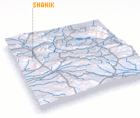 Places with similar names to Shāhīk, Iran ::
Disclaimer :: Information on this page comes without warranty of any kind |
||
|
Where is Shāhīk? Elevation and coordinates ::
Latitude (lat): 33°42'29"N Longitude (lon): 59°10'29"E
Elevation (approx.): 1469m (map arrows pan, magnifying glasses zoom) |
||
|
Visiting Shāhīk? Hotel/Accommodation ::
Book a hotel in Shāhīk Travel Guide ::
Buy a travel guide for Iran rental cars ::
car rental offers GPS waypoint ::
download a GPX waypoint (PoI) of Shāhīk for your GPS receiver
|
||