|
search place name
|
||
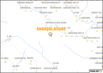
Shāh Qalandar (Īlām, Iran)Shāh Qalandar is a town in the Īlām region of Iran. An overview map of the region around Shāh Qalandar is displayed below.
regional and 3d topo map of Shāh Qalandar, Iran ::
Shāh Qalandar airports ::
The nearest airport is KSH - Bakhtaran Shahid Ashrafi Esfahani, located 94.7 km north east of Shāh Qalandar.
Other airports nearby include SDG - Sanandaj (181.8 km north), Nearby towns ::
Sar Koleh (3.0km east) //
Cheshmeh Chāhī-ye Soflá (3.9km north) //
‘Ālīābād-e Soflá (3.6km north east) //
Sefīd Khānī-ye ‘Olyā (3.6km north east) //
Sefīd Khānī-ye Vosţá (3.6km north east) //
Sar Koleh-ye ‘Alīābād (4.2km north) //
‘Ālīābād-e ‘Olyā (4.2km north) //
‘Ālīābād-e Vosţá (4.2km north) //
Cheshmeh Chāhī-ye‘Olyā (4.3km north west) //
Cheshmeh Chāhī-ye Vosţá (4.3km north west) //
Varmīān (4.4km east) //
Sefīd Khānī-ye Soflá (4.5km east) //
Kalī Kalī (6.4km north) //
Bābā Shams (6.1km east) //
Qalandar-e Soflá (6.1km east) //
Qalandar-e ‘Olyā (6.1km east) //
Shūrābeh-ye Aḩmad (6.4km east) //
Tārzān-e Pā'īn (7.8km north) //
Kolahjūb (7.8km north) //
Jūrāb Derāz va Mīrzā Beygī (7.8km north) //
[all distances 'as the bird flies' and approximate] 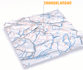 Places with similar names to Shāh Qalandar, Iran :: Disclaimer :: Information on this page comes without warranty of any kind |
||
|
Where is Shāh Qalandar? Elevation and coordinates ::
Latitude (lat): 33°38'53"N Longitude (lon): 46°34'4"E
Elevation (approx.): 1860m (map arrows pan, magnifying glasses zoom) |
||
|
Visiting Shāh Qalandar? Hotel/Accommodation ::
Book a hotel in Shāh Qalandar Travel Guide ::
Buy a travel guide for Iran rental cars ::
car rental offers GPS waypoint ::
download a GPX waypoint (PoI) of Shāh Qalandar for your GPS receiver
|
||