|
search place name
|
||
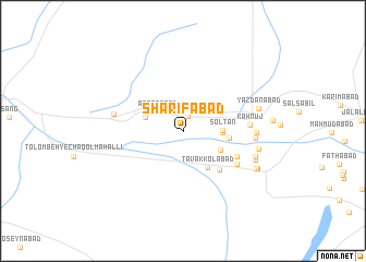
Sharīfābād (Kermān, Iran)Sharīfābād is a town in the Kermān region of Iran. An overview map of the region around Sharīfābād is displayed below.
regional and 3d topo map of Sharīfābād, Iran ::
Sharīfābād airports ::
The nearest airport is KER - Kerman, located 89.8 km south east of Sharīfābād.
Nearby towns ::
Fathābād (0.9km north) //
Naşrābād (1.5km north) //
‘Abbāsābād (3.0km north west) //
Solţān (3.5km east) //
Moḩammadābād (3.5km east) //
Faqīrābād (3.6km north west) //
Bahrāmkhān (3.9km south east) //
Tavakkolābād (4.3km south east) //
Talkhābād (4.2km east) //
Ḩoseynābād-e Jahāngīrkhān (5.1km south east) //
Bīlābād (5.4km south east) //
‘Eyshābād (5.8km south east) //
Kahnūj (6.0km east) //
Īstgāh-e Rāhahan-e Golzard (6.3km west) //
Khāleqābād (6.4km east) //
Ţāherābād (6.4km east) //
Shāhrokhābād (6.9km east) //
Ḩoseynābād (6.9km east) //
Bahrām Khān (7.1km south east) //
Yazdānābād (7.0km east) //
Nūshābād (7.6km south east) //
Ḩoşnābād (7.6km south east) //
[all distances 'as the bird flies' and approximate] 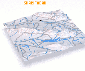 Places with similar names to Sharīfābād, Iran ::
// Sharīfābād (IN)
// Sharafābād (IR)
// Sharafābād (IR)
// Sharafābād (IR)
// Sharafābād (IR)
// Sharafābād (IR)
// Sharafābād (IR)
// Sharafābād (IR)
// Sharafābād (IR)
// Sharafābād (IR)
Disclaimer :: Information on this page comes without warranty of any kind |
||
|
Where is Sharīfābād? Elevation and coordinates ::
Latitude (lat): 30°51'25"N Longitude (lon): 56°18'1"E
Elevation (approx.): 1582m (map arrows pan, magnifying glasses zoom) |
||
|
Visiting Sharīfābād? Hotel/Accommodation ::
Book a hotel in Sharīfābād Travel Guide ::
Buy a travel guide for Iran rental cars ::
car rental offers GPS waypoint ::
download a GPX waypoint (PoI) of Sharīfābād for your GPS receiver
|
||